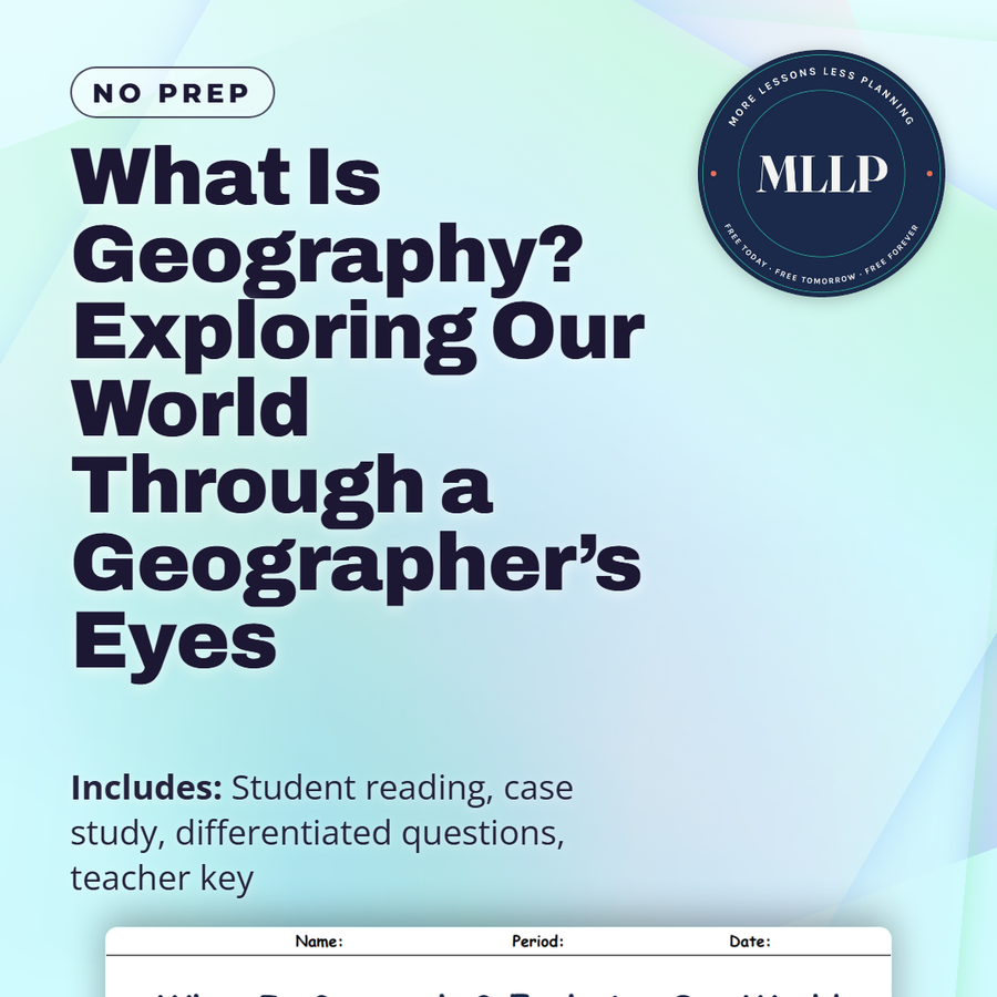
What Is Geography? Exploring Our World Through a Geographer’s Eyes
Quality reviewed September 2026
Facts verified September 14, 2026
- Subject
- Social Studies
- Grades
- Grades 9-12
- Length
- 8-page student worksheet
- Time
- About one 50-minute class period
- Great for
- Sub plans and independent work
- Includes
- Reading passage, comprehension questions + full answer key
- Format
- Print-and-go PDF
What students do
- Match terms like the Equator, GPS, demographics, trade routes, and climate to their correct definitions
- Fill in the blank sentences on physical geography, human geography, and how space differs from place
- Answer multiple choice questions on what illustrates the concept of place, what physical geography focuses on, and why geography is interdisciplinary
- Write short answers on how physical and human geography guide city planning, how space differs from place, and why both local and global scales matter
What it covers
- The difference between physical geography and human geography, and how the two branches connect
- The distinction between space, a measurable location, and place, which carries cultural and emotional meaning
- A case study on the Nile River, its role in early agriculture, and modern conflicts over dam construction and water rights
Start reading this worksheet
The Importance of Geography in Everyday Life
Geography is much more than looking at maps or memorizing capitals. It is an active exploration of how people and places connect in our complex world. When students first encounter the subject, they might assume it only involves listing continents or identifying countries. Yet, at its heart, geography encourages us to ask critical questions: Why do certain civilizations flourish in one region but struggle in another? How do resources, rivers, mountains, or climate shape entire cultures? By digging into these issues, geographers uncover essential links between our physical surroundings and the societies we build upon them. A good way to see how geography matters in everyday life is to think of your own neighborhood. A local grocery store might be located near a busy intersection for accessibility, the town library could be close to a school so students can easily visit, and a public park might flank a river or lake, providing a scenic recreational area. Each of these decisions is influenced by geographic factors—whether environmental (like bodies of water) or human (like transportation routes). As you start analyzing these local patterns, you begin to realize that geography plays a major role in political decisions, economic development, and cultural practices. At a global scale, geography helps us interpret wide-ranging issues such as climate change, population movements, and international trade. Policy-makers rely on geographic data to plan smart cities, expand transportation networks, or manage environmental hazards. Understanding weather patterns can guide farmers on which crops to plant, and knowing migration trends can inform governments about where to build new housing or schools. When we see that geography drives so many of these decisions, it becomes clear that having a geographical perspective is indispensable.
Physical vs. Human Geography
To better understand geography’s breadth, experts usually split the field into two major branches: physical geography and human geography. Physical geography focuses on the Earth’s natural processes and features, including mountains, rivers, weather systems, and ecosystems. It explains how volcanoes erupt, why deserts form, and how coastlines shift over time. Physical geographers often use tools like satellite imagery, climate models, and field observations to piece together patterns in our environment. By contrast, human geography zeroes in on people—our cultures, economies, political structures, and social dynamics. This branch explores why populations settle in specific places, how they organize into different political units, and what cultural traits spread across regions. Human geographers might analyze topics like why certain languages dominate certain areas, how trade influences city growth, or how traditions shape community identities. Though these two areas of study seem separate, they are intimately linked. For instance, a mountain range (a physical feature) can serve as a political boundary (a human construct), or a river’s flooding patterns can influence the crops that people choose to plant. Even city design is shaped by the natural terrain, leading to unique urban layouts that work around hills or coastlines. By combining both physical and human dimensions, geographers gain a holistic view of how the world operates.
The Significance of Space and Place
A crucial part of thinking like a geographer lies in recognizing the difference between space and place. Space refers to the geographic area that can be measured in miles, kilometers, or coordinates. It is a more abstract concept—like saying two cities are 300 miles apart. Place, on the other hand, adds layers of meaning. It includes the emotional and cultural attachments that people invest in a particular location, forming its distinctive identity. Imagine a neighborhood street: as a space, it might be described by its location on a city grid. But as a place, it becomes a living environment where families celebrate holidays, friends gather at local restaurants, and children play games. In other words, place transforms a simple location into a community with shared history and culture. Recognizing place helps geographers see how human experiences make each corner of the Earth unique. When students compare spaces and places, they can better understand how people adapt to their environments and also alter them. A desert region might be seen as inhospitable from a purely physical standpoint, but for the people living there, it has cultural significance and resourcefulness embedded in daily life. Similarly, bustling coastal cities might seem chaotic, but for local residents, those urban landscapes hold memories, livelihoods, and social traditions. Geography thus teaches us that every location has a set of hidden stories waiting to be uncovered.
Like what you read? The full reading, the case study, and every question set are in the free download below, along with the answer key.
Why this matters
Two students at the same coordinates on the Nile are not standing in the same place, one sees a measurable location and the other sees a river tied to family or history. That gap between space and place opens this reading before it moves into physical and human geography as connected branches of one field.
The Nile case study makes it stick: the same river that anchored early Egyptian agriculture is now the center of disputes over dams and water rights between Egypt, Sudan, and Ethiopia. I like starting a course here, since it shows students that geography is not about memorizing capitals, it connects physical features to real political conflict.
From one teacher to another
This worksheet introduces geography as a field that goes beyond memorizing capitals, splitting the subject into physical and human geography and unpacking the difference between space and place. The case study traces the Nile River from its role in early Egyptian agriculture to today's disputes over dams and water rights between Egypt, Sudan, and Ethiopia. Students see how one river connects physical geography, history, and modern politics. I like that it gives a single throughline students can follow across the whole reading. This works well as an opening lesson for a geography course.
What you get
Download
Where should I send the next one?
Everything here is free and it stays that way. Leave your email and I'll send you the new lessons as they go up. You can unsubscribe from any one of them.
Related resources
Cartography Basics: How Maps Are Made and Interpreted
Latitude and Longitude: How to Find Any Point on Earth
Map Projections and Distortions: Why the World Isn’t Flat
Political vs. Physical Maps: What They Show and Why It Matters
Spatial Thinking and Geographic Inquiry: Asking the Right Questions
The Five Themes of Geography: Making Sense of Our World
Every lesson on this site is free to download and use. If one of them saved you a prep period, you can chip in a few bucks toward my three kids' daycare fund. That's genuinely where tips go.