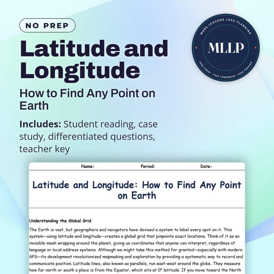
Latitude and Longitude: How to Find Any Point on Earth
Quality reviewed September 2026
Facts verified September 14, 2026
- Subject
- Social Studies
- Grades
- Grades 9-12
- Length
- 8-page student worksheet
- Time
- About one 50-minute class period
- Great for
- Sub plans and independent work
- Includes
- Reading passage, comprehension questions + full answer key
- Format
- Print-and-go PDF
What students do
- Match terms like meridians, Polaris, marine chronometer, and coordinates to their correct definitions
- Fill in the blank sentences on parallels, the Equator, and the marine chronometer sailors used to track time for longitude
- Answer multiple choice questions on how latitude lines run, where the Prime Meridian sits, and how longitude was historically determined
- Write short answers on why meridians converge at the poles, how the Equator shapes climate zones, and how coordinates support global navigation
What it covers
- The global coordinate grid, including how latitude and longitude pinpoint any location on Earth
- The historical challenge of measuring longitude and the invention of the marine chronometer
- A case study on a 2005 Atlantic rescue where a ship's crew calculated their coordinates without modern GPS
Start reading this worksheet
Understanding the Global Grid
The Earth is vast, but geographers and navigators have devised a system to label every spot on it. This system, which uses latitude and longitude, creates a global grid that pinpoints exact locations. Think of it as an invisible mesh wrapping around the planet, giving us coordinates that anyone can interpret, regardless of language or local address systems. Although we might take this method for granted (especially with modern GPS), its development transformed mapmaking and exploration by providing a systematic way to record and communicate position. Latitude lines, also known as parallels, run east-west around the globe. They measure how far north or south a place is from the Equator, which sits at 0° latitude. If you move toward the North Pole, latitudes increase up to 90° N; if you move toward the South Pole, they increase up to 90° S. One key detail is that latitude lines remain roughly the same distance apart, as each parallel circles the Earth completely. By contrast, longitude lines, or meridians, run from the North Pole to the South Pole. They converge at the poles and fan out at the Equator. The Prime Meridian, sitting at 0° longitude, passes through Greenwich, England. From there, longitudes extend to 180° E or 180° W, meeting at the opposite side of the globe near the International Date Line. By combining latitude and longitude, a unique coordinate emerges, like 40° N, 74° W for New York City. That coordinate never changes, no matter who is reading it or which map they use.
Why Latitude and Longitude Matter
Before the global coordinate system was widely accepted, explorers relied on local landmarks or ambiguous directions. “North of the big bay” or “three days’ sail from the river delta” might have sufficed in smaller regions, but they were impractical for open-ocean voyages. Early explorers measured latitude relatively easily using the height of the sun or stars (like the North Star) above the horizon at specific times. Longitude, however, proved much harder, requiring an accurate measure of time difference between a fixed reference point and local noon. The invention of reliable marine chronometers in the 18th century solved this puzzle. Consequently, shipping routes expanded, imperial powers established more precise global trade, and entire continents were more accurately charted. In modern settings, latitude and longitude guide everything from everyday smartphone navigation to advanced meteorological forecasts. Air traffic controllers rely on these coordinates to keep planes on track. Rescue teams use them to locate people in distress, whether at sea or in remote terrains. Parcel delivery companies optimize routes by sorting packages according to precise geographical points. Even the way we talk about the Earth’s hemispheres depends on these lines: Northern vs. Southern, Eastern vs. Western.
Hemispheres and Key Reference Lines
The Equator not only marks 0° latitude but also divides the Earth into the Northern and Southern Hemispheres. Climates can differ drastically across these hemispheres, with seasons reversing between north and south (when it’s summer in the Northern Hemisphere, it’s winter in the Southern, and vice versa). Understanding latitude is crucial for grasping why some places remain hot year-round while others endure long, cold winters. Meanwhile, the Prime Meridian slices Earth into the Eastern and Western Hemispheres. Often, countries choose time zones or reference points that align closely with these longitudes or shift them slightly for political or social convenience. The world’s 24 primary time zones are inextricably linked to lines of longitude, with each zone offset by about 15° from its neighbor. Although local adjustments exist, the principle remains that a shift in longitude typically implies a shift in standard time.
Like what you read? The full reading, the case study, and every question set are in the free download below, along with the answer key.
Why this matters
A crew stranded in the Atlantic in 2005 had no working GPS, so their rescue came down to the math sailors used before satellites: fixing a position with latitude and longitude alone. That only worked because someone still knew how the grid works.
The 2005 rescue lands hardest precisely because GPS was supposed to make this skill unnecessary: the technology failed, the coordinate system did not. I ask why the marine chronometer mattered for longitude specifically, not latitude.
From one teacher to another
This worksheet covers how latitude and longitude work together to pinpoint any location on Earth, including the history behind measuring each one. Students read about the marine chronometer and how sailors calculated longitude before GPS existed. The case study follows a 2005 rescue at sea, where a crew used basic celestial navigation to radio their coordinates during a storm. I like that it shows why these skills still matter even with modern technology. This pairs well with a unit on navigation or global coordinate systems.
What you get
Download
Where should I send the next one?
Everything here is free and it stays that way. Leave your email and I'll send you the new lessons as they go up. You can unsubscribe from any one of them.
Related resources
Cartography Basics: How Maps Are Made and Interpreted
Map Projections and Distortions: Why the World Isn’t Flat
Political vs. Physical Maps: What They Show and Why It Matters
Spatial Thinking and Geographic Inquiry: Asking the Right Questions
The Five Themes of Geography: Making Sense of Our World
Time Zones and the Prime Meridian: A Global Clock System
Every lesson on this site is free to download and use. If one of them saved you a prep period, you can chip in a few bucks toward my three kids' daycare fund. That's genuinely where tips go.