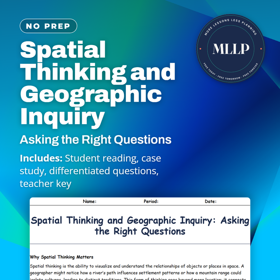
Spatial Thinking and Geographic Inquiry: Asking the Right Questions
Quality reviewed September 2026
Facts verified September 14, 2026
- Subject
- Social Studies
- Grades
- Grades 9-12
- Length
- 7-page student worksheet
- Time
- About one 50-minute class period
- Great for
- Sub plans and independent work
- Includes
- Reading passage, comprehension questions + full answer key
- Format
- Print-and-go PDF
What students do
- Match terms like food desert, overlay, census data, spatial analysis, and geographic inquiry to their correct definitions
- Fill in the blank sentences on spatial analysis, forming a clear question, and the transportation routes tied to food deserts
- Answer multiple choice questions on what spatial thinking involves, how the geographic inquiry process begins, and how to investigate a cluster of fast-food chains
- Write short answers on how spatial thinking differs from general problem-solving, sample geographic inquiry questions, and why interviews matter alongside statistics
What it covers
- What spatial thinking is and how geographers use it to connect physical and human patterns
- The steps of the geographic inquiry process, from asking a question to proposing solutions
- A case study on high school students investigating food deserts by mapping supermarkets, income data, and bus routes
Start reading this worksheet
Why Spatial Thinking Matters
Spatial thinking is the ability to visualize and understand the relationships of objects or places in space. A geographer might notice how a river’s path influences settlement patterns or how a mountain range could isolate cultures, leading to distinct traditions. This form of thinking goes beyond mere location; it connects physical and human phenomena, unveiling patterns that might remain hidden if viewed in isolation. In everyday life, spatial thinking is at play when you reorganize a living room for a more efficient layout or map the quickest route to school. On larger scales, it underpins decisions about highway construction, retail site selection, and land conservation. People who master spatial thinking can interpret maps, satellite images, or demographic data to make informed judgments about planning, resource management, and policy-making.
The Geographic Inquiry Process
A structured approach to geographic research typically involves these steps: Ask a Question: Formulate a query such as, “How does the proximity of factories affect residential health in this city?” or “Why does a certain neighborhood lack grocery stores?” Collect Data: Gather maps, census information, interviews, satellite images, or field observations. Analyze Data: Look for patterns, correlations, or anomalies in the data. Overlaying different data layers in a GIS system can reveal links between environmental features and social outcomes. Draw Conclusions: Summarize findings, highlighting causal relationships or unexpected results. Act or Propose Solutions: Present recommendations for policymakers, community leaders, or other stakeholders, then revise the inquiry if new questions arise.
Like what you read? The full reading, the case study, and every question set are in the free download below, along with the answer key.
Why this matters
Why is the nearest grocery store so hard to reach without a car? That question becomes an actual investigation here, not a rhetorical one. High school students in the case study map supermarket locations against census income data and bus routes until a vague sense of a food desert becomes a specific, provable pattern.
This case study earns its place right before students start their own inquiry projects, since it shows the process is not just asking a question and searching online. The students also ran interviews, and I point that out every time, since my classes trust a spreadsheet more than a person who knows the neighborhood.
From one teacher to another
This worksheet introduces spatial thinking and walks through the geographic inquiry process step by step. The case study follows a group of high school students investigating food deserts in their city, mapping supermarket locations against income levels and transit routes. Students see how asking the right question, collecting data, and looking for patterns leads to real conclusions. I like that the case study mirrors an inquiry project students could actually run themselves. This fits well in a unit introducing geographic research methods.
What you get
Download
Where should I send the next one?
Everything here is free and it stays that way. Leave your email and I'll send you the new lessons as they go up. You can unsubscribe from any one of them.
Related resources
Cartography Basics: How Maps Are Made and Interpreted
Latitude and Longitude: How to Find Any Point on Earth
Map Projections and Distortions: Why the World Isn’t Flat
Political vs. Physical Maps: What They Show and Why It Matters
The Five Themes of Geography: Making Sense of Our World
Time Zones and the Prime Meridian: A Global Clock System
Every lesson on this site is free to download and use. If one of them saved you a prep period, you can chip in a few bucks toward my three kids' daycare fund. That's genuinely where tips go.