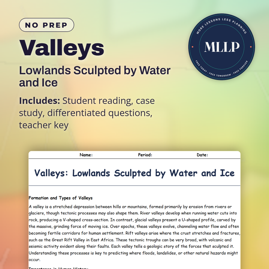
Valleys: Lowlands Sculpted by Water and Ice
Quality reviewed September 2026
Facts verified September 14, 2026
- Subject
- Social Studies
- Grades
- Grades 9-12
- Length
- 6-page student worksheet
- Time
- About one 50-minute class period
- Great for
- Sub plans and independent work
- Includes
- Reading passage, comprehension questions + full answer key
- Format
- Print-and-go PDF
What students do
- Match terms like Floodplain, Rift Valley, and Annual Flood Cycle to their correct descriptions
- Fill in the blank sentences on floodplain valleys, glacial action, and the Great Rift Valley
- Answer multiple choice questions on V-shaped versus U-shaped valleys and how rift valleys form
- Write short answers on why river valleys became centers of civilization and how dams change a valley's flood cycle
What it covers
- How river, glacial, and rift valleys form and the V-shaped and U-shaped profiles they leave behind
- Valleys as ecosystems and their role in human settlement, trade routes, and local microclimates
- A case study on the Nile River Valley's agricultural legacy and the effects of the Aswan High Dam
Start reading this worksheet
Formation and Types of Valleys
A valley is a stretched depression between hills or mountains, formed primarily by erosion from rivers or glaciers, though tectonic processes may also shape them. River valleys develop when running water cuts into rock, producing a V-shaped cross-section. In contrast, glacial valleys present a U-shaped profile, carved by the massive, grinding force of moving ice. Over epochs, these valleys evolve, channeling water flow and often becoming fertile corridors for human settlement. Rift valleys arise where the crust stretches and fractures, such as the Great Rift Valley in East Africa. These tectonic troughs can be very broad, with volcanic and seismic activity evident along their faults. Each valley tells a geologic story of the forces that sculpted it. Understanding these processes is key to predicting where floods, landslides, or other natural hazards might occur.
Importance in Human History
Civilizations frequently emerged in river valleys, drawn by reliable water, fertile floodplains, and navigable trade routes. The Nile Valley, Mesopotamia, and the Indus Valley are famous cradles of early urban life. Seasonal flooding renews soil nutrients, spurring agricultural surpluses. At the same time, living in a floodplain poses risks; excess water can devastate crops and settlements if defenses fail. Over centuries, humans have built levees, canals, and dams to manage these waters. In mountainous regions, glacial valleys can act as natural passages. Historically, they guided trade caravans and armies through rugged terrains. The availability of meltwater from glaciers also enabled high-altitude farming and herding. Today, infrastructure like roads and railways often follow major valleys. Yet environmental concerns (soil erosion, deforestation, and upstream dam projects) can amplify downstream impacts.
Valleys as Ecosystems
Valleys host varied ecosystems, from riparian forests along riverbanks to wetlands on floodplains. These habitats support diverse plants and animals, benefiting from rich alluvial soils and ample water. Flooded areas can form marshes or swamps, vital for migratory birds and aquatic species. In glacial valleys, meltwater feeds streams that flow into lower basins, distributing essential nutrients. When human activity intensifies through expanding farmland, building dams, or encroaching on wetlands, valley ecosystems can degrade quickly. Habitat fragmentation and pollution threaten fish, amphibians, and waterfowl. Conservation efforts often aim to preserve buffer zones along rivers, reforest slopes, or restore wetlands. Balancing agricultural productivity with biodiversity is a persistent challenge, especially in regions with dense populations.
Like what you read? The full reading, the case study, and every question set are in the free download below, along with the answer key.
Why this matters
A V-shaped valley and a U-shaped valley tell two different stories, one cut by a river, the other ground wide by a moving glacier. The Great Rift Valley adds a third story, land pulled apart by tectonic forces instead of worn down from above.
The Nile section is where this stops being abstract, since the Aswan High Dam gives students a clear before and after: a river that used to flood its banks every year, and one that now does not. Once they see how much farming depended on that annual cycle, the dam becomes a trade-off worth arguing about, not just an engineering fact.
From one teacher to another
This reading looks at how valleys form, river-cut V-shapes, glacier-carved U-shapes, and rift valleys pulled apart by tectonic forces. I like that it ties valley formation to why civilizations settled there in the first place, floodplains and trade routes included. The case study on the Nile River Valley and the Aswan High Dam gives students a clear before-and-after look at what happens when a dam interrupts a natural flood cycle. Fits well with a landforms or water systems unit.
What you get
Download
Where should I send the next one?
Everything here is free and it stays that way. Leave your email and I'll send you the new lessons as they go up. You can unsubscribe from any one of them.
Related resources
Biomes & Ecosystems: Life Across Earth’s Habitats
Climate vs. Weather: Understanding the Difference
Convergent Boundaries: Where Plates Collide
Deserts: Survival in the Harshest Climates

Divergent Boundaries: Where Plates Pull Apart
Earth’s Layers: From Crust to Core
Every lesson on this site is free to download and use. If one of them saved you a prep period, you can chip in a few bucks toward my three kids' daycare fund. That's genuinely where tips go.