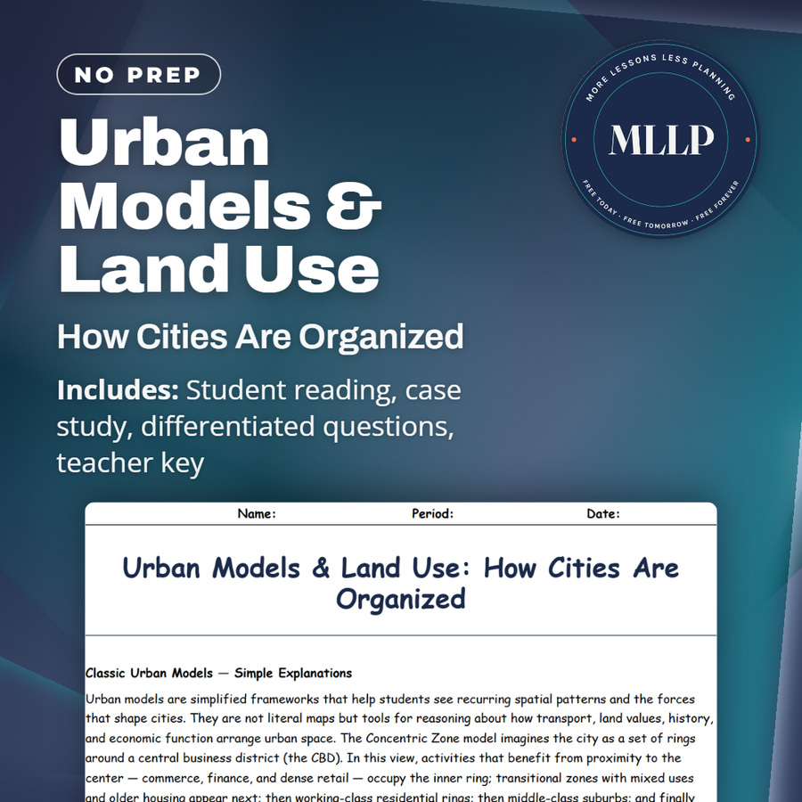
Urban Models & Land Use: How Cities Are Organized
Quality reviewed September 2026
Facts verified September 14, 2026
- Subject
- Social Studies
- Grades
- Grades 9-12
- Length
- 8-page student worksheet
- Time
- About one 50-minute class period
- Great for
- Sub plans and independent work
- Includes
- Reading passage, comprehension questions + full answer key
- Format
- Print-and-go PDF
What students do
- Match terms like CBD, zone, sector, nucleus, and suburb to their correct definitions
- Fill in the blank sentences on the concentric zone model, the sector model, and nucleus
- Answer multiple choice questions on what the concentric zone model highlights and what the multiple nuclei model suggests
- Write short answers on why the concentric model may not fit modern cities and why planners still teach it
What it covers
- The Concentric Zone model, which arranges land use in rings radiating out from a central business district
- The Sector model and Multiple Nuclei model, which explain land use through transport corridors and specialized centers
- A case study on a port city that grew rings, a wedge of housing along a rail line, and separate nuclei around a university and airport
Start reading this worksheet
Classic Urban Models: Simple Explanations
Urban models are simplified frameworks that help students see recurring spatial patterns and the forces that shape cities. They are not literal maps but tools for reasoning about how transport, land values, history, and economic function arrange urban space. The Concentric Zone model imagines the city as a set of rings around a central business district (the CBD). In this view, activities that benefit from proximity to the center occupy the inner ring: commerce, finance, and dense retail. Transitional zones with mixed uses and older housing appear next; then working-class residential rings; then middle-class suburbs; and finally commuter or rural zones. The model emphasizes distance and accessibility as primary organizing principles. The Sector (Hoyt) model retells spatial organization through the lens of transport corridors. Instead of rings, it shows wedge-shaped sectors radiating from the center along major roads, rail lines, or rivers. For example, an industrial sector might run along a rail corridor or river to simplify freight movement, while upscale residential sectors can extend outward along scenic routes or early transit lines. The sector model highlights how directional growth, channeled by infrastructure, can cluster certain land uses along linear axes rather than equally in all directions. The Multiple Nuclei model takes a different stance: rather than one dominant center, modern cities often develop several centers or nuclei. These nuclei specialize: a port attracts logistics and light industry; a university generates research parks, student housing, and cafes; an airport business park draws hotels and corporate offices. In this view, the urban landscape is polycentric, with interdependent centers connected by transport networks. Each model emphasizes different drivers (distance, corridors, specialization) and provides vocabulary for describing urban form. Used together, they let students compare observed city patterns against theoretical expectations and reason about why particular land uses are where they are.
How Land Use Arranges Spatially in Each Model
Each model suggests distinct spatial logics for common land uses (residential, industrial, and commercial) but real cities often display mixtures of these logics. In the Concentric perspective, heavy industry and lower-income housing are often located relatively close to the CBD because land is cheaper or because proximity reduces transport costs for goods and workers. Higher-income households tend to locate further out in suburbs where land is larger, air quality is generally better, and commuting (in earlier eras) was feasible for wealthier households. In the Sector model, transport infrastructure creates directional patterns. Industry follows rails or highways; retail corridors may develop along major arterials; and high-income residential sectors often locate along preferred corridors that provide both access to the CBD and desirable environmental qualities (e.g., hills, waterfront). As a result, a single city can have industrial wedges on one side, affluent wedges on another, and mixed-use wedges elsewhere, rather than neat concentric rings. The Multiple Nuclei model shows how specialization produces clusters: a port nucleus concentrates warehousing and freight services; a university nucleus concentrates student housing, startups, and cultural venues; an airport nucleus attracts hotels and corporate services. These nuclei can reduce the need for everyone to commute to a single CBD, generating shorter commutes for some but also new trip patterns between nuclei. Modern metropolitan regions often show overlays: inner-city rings persist in older cores, sectoral wedges follow older transport routes, and new nuclei emerge at suburban interchanges or around greenfield employment parks. Land use therefore emerges from the interaction of accessibility, land cost, historical development paths, and policy (zoning, infrastructure investments).
Strengths and Limits of Models for Modern Cities
The three models are powerful pedagogical tools. Their strength lies in clarifying how accessibility, transport, and function shape spatial arrangements and in giving students a structured way to interpret maps and urban patterns. For example, spotting a wedge of expensive housing along a transit line invites students to link land value with accessibility: a sectoral logic. Noting multiple employment centers suggests a nuclei explanation. But these models simplify. Modern urban realities include polycentric metropolitan regions, sprawling suburbs, gated communities, informal settlements, and megaregions. These patterns blend, distort, or bypass the tidy geometries of rings and wedges. Globalization and digital networks change where high-value activities cluster; remote work and edge-city employment centers alter commuting patterns; informal housing and incremental development can create patchy land-use mosaics not predicted by early models. Planners still use the models because they teach spatial thinking and help craft zoning and transport strategy, but effective analysis recognizes model limits and complements them with data on travel flows, land markets, and socio-economic dynamics.
Like what you read? The full reading, the case study, and every question set are in the free download below, along with the answer key.
Why this matters
A city almost never grows in neat, even rings, which is why the concentric zone model is worth testing against a real map. This case study does that: a port city grows rings from its central business district, then breaks the pattern with a strip of rail-line housing, and again with separate clusters around a university and an airport.
I like handing students a city that resists one model, because it forces them to name which pattern fits where instead of reciting a definition. Matching CBD, zone, sector, and nucleus to this single map, they stop treating the three models as rivals and start using each as its own lens.
From one teacher to another
I like that it covers these three models together, so students can look for all three patterns in the same city instead of picking just one. The case study is my favorite part. It follows one city from its port-town rings, through a strip of rail-line housing that reads like the sector model, out to a university and airport that function as their own nuclei. It pairs well with a lesson on how transportation and land value shape a city's layout.
What you get
Download
Where should I send the next one?
Everything here is free and it stays that way. Leave your email and I'll send you the new lessons as they go up. You can unsubscribe from any one of them.
Related resources
City Transport & Infrastructure: Moving Millions Efficiently
Gentrification & Housing: Winners, Losers, and Choices
Megacities vs Global Cities: Powerhouses of Today
Smart Growth & Urban Planning: Designing Better Cities
Suburbanization & Sprawl: Causes, Costs, Consequences
Sustainable Cities: Green Solutions & Urban Resilience
Every lesson on this site is free to download and use. If one of them saved you a prep period, you can chip in a few bucks toward my three kids' daycare fund. That's genuinely where tips go.