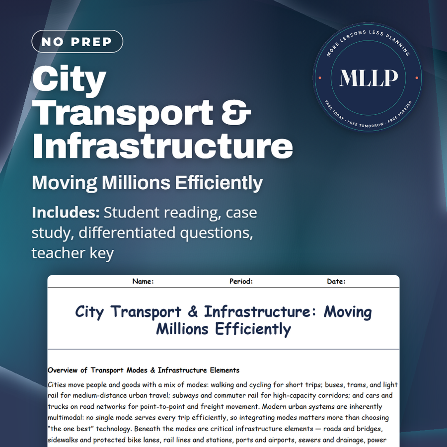
City Transport & Infrastructure: Moving Millions Efficiently
Quality reviewed September 2026
Facts verified September 14, 2026
- Subject
- Social Studies
- Grades
- Grades 9-12
- Length
- 8-page student worksheet
- Time
- About one 50-minute class period
- Great for
- Sub plans and independent work
- Includes
- Reading passage, comprehension questions + full answer key
- Format
- Print-and-go PDF
What students do
- Match terms like right-of-way, farebox recovery, and BRT (Bus Rapid Transit) to their correct definitions
- Fill in the blank sentences on protected bike lanes, maintenance costs, and transit-oriented development
- Answer multiple choice questions on multimodal networks, transit-oriented development, and bus reliability
- Write short answers on why maintenance gets deferred, how reallocating street space increases capacity, and transit equity policy
What it covers
- Transport modes and infrastructure elements that move people and goods, from sidewalks to subways to sewer systems
- How transit-oriented development and street space allocation shape accessibility and urban form
- A case study on a city weighing dedicated bus lanes against park-and-ride expansion to fix a congested commuter corridor
Start reading this worksheet
Overview of Transport Modes & Infrastructure Elements
Cities move people and goods with a mix of modes: walking and cycling for short trips; buses, trams, and light rail for medium-distance urban travel; subways and commuter rail for high-capacity corridors; and cars and trucks on road networks for point-to-point and freight movement. Modern urban systems are inherently multimodal: no single mode serves every trip efficiently, so integrating modes matters more than choosing “the one best” technology. Beneath the modes are critical infrastructure elements: roads and bridges, sidewalks and protected bike lanes, rail lines and stations, ports and airports, sewers and drainage, power and communications networks. Together they form the city’s physical backbone: when they function smoothly, people reach jobs and services, goods flow, and public health is supported. When they fail (bridge closures, transit breakdowns, sewer overflows, power outages), impacts multiply across the economy and households. Infrastructure is long-lived and capital-intensive. Building a subway line or major bridge requires years of planning, large capital budgets, and sustained political commitment; once built, assets require ongoing maintenance and renewal costs. Cities that under-invest in upkeep accumulate maintenance backlogs; the cost to repair later is typically far higher than steady, preventive expenditures. This is especially true for assets that are invisible to riders and voters (sewer piping, electrical substations), so they can be neglected when budgets focus on headline capital projects. A resilient city plans for lifecycle costs, builds redundancy across modes, and finances maintenance as deliberately as it finances expansion.
Transport & Land Use: Accessibility, TOD, and Urban Form
Transport shapes land use through accessibility: places with quicker, cheaper access to jobs and services become more valuable and attract denser development. This is the logic behind transit-oriented development (TOD): concentrating housing, jobs, retail, and services within walking distance of frequent transit stations to create compact, walkable, mixed-use neighborhoods that reduce car dependence and support high transit ridership. Good TOD reduces commute times, enables smaller housing footprints, and increases the number of people served per transit dollar. The allocation of street space, also known as the right-of-way, is a fundamental planner’s lever. A single urban street can allocate its right-of-way to general traffic lanes, bus lanes, protected bike lanes, wide sidewalks, or curbside loading. Prioritizing buses and bikes often increases person-moving capacity (people per hour) because one bus lane can move far more riders than a single general-traffic lane full of single-occupant vehicles. Multimodal networks that deliberately integrate walking, cycling, buses, and rail also add resilience: if a rail line closes for maintenance, BRT or enhanced bus services can carry trips; if a bridge is out, ferries or timed shuttle buses can provide alternatives. Land-use decisions and transport investment interact dynamically. Invest in high-quality transit and zoning that allows higher densities near stations, and you create a supply of transit-supportive development. Ignore land use and build transit without affordable housing strategies, and you risk pushing low-income residents farther out, increasing long commutes and undermining equity goals. Integrated planning therefore couples transport investments with zoning reform, parking policy, and first/last-mile solutions (bike parking, microtransit, safe sidewalks).
Like what you read? The full reading, the case study, and every question set are in the free download below, along with the answer key.
Why this matters
A city weighing a dedicated bus lane against a bigger park-and-ride lot is not choosing between good and bad options, it is choosing which commuters win and which keep sitting in traffic. That trade-off sits at the center of this reading, a more honest way into infrastructure than vocabulary alone.
Terms like farebox recovery and right-of-way sound dry until students apply them to the actual corridor, deciding where street space should go. I use the deferred maintenance material to push back on the idea that transit problems are only about money, since choosing what to fund is its own decision.
From one teacher to another
I like this one because it walks students through the trade-offs planners actually face rather than only vocabulary. The case study has them weigh a dedicated bus lane against a park-and-ride lot, so they have to argue both sides using real trade-offs from the passage. It pairs well with a unit on urban planning or infrastructure, and the matching section locks down terms like right-of-way and farebox recovery before students hit the harder short answer questions.
What you get
Download
Where should I send the next one?
Everything here is free and it stays that way. Leave your email and I'll send you the new lessons as they go up. You can unsubscribe from any one of them.
Related resources
Gentrification & Housing: Winners, Losers, and Choices
Megacities vs Global Cities: Powerhouses of Today
Smart Growth & Urban Planning: Designing Better Cities
Suburbanization & Sprawl: Causes, Costs, Consequences
Sustainable Cities: Green Solutions & Urban Resilience
Urban Challenges: Pollution, Crime, and Inequality
Every lesson on this site is free to download and use. If one of them saved you a prep period, you can chip in a few bucks toward my three kids' daycare fund. That's genuinely where tips go.