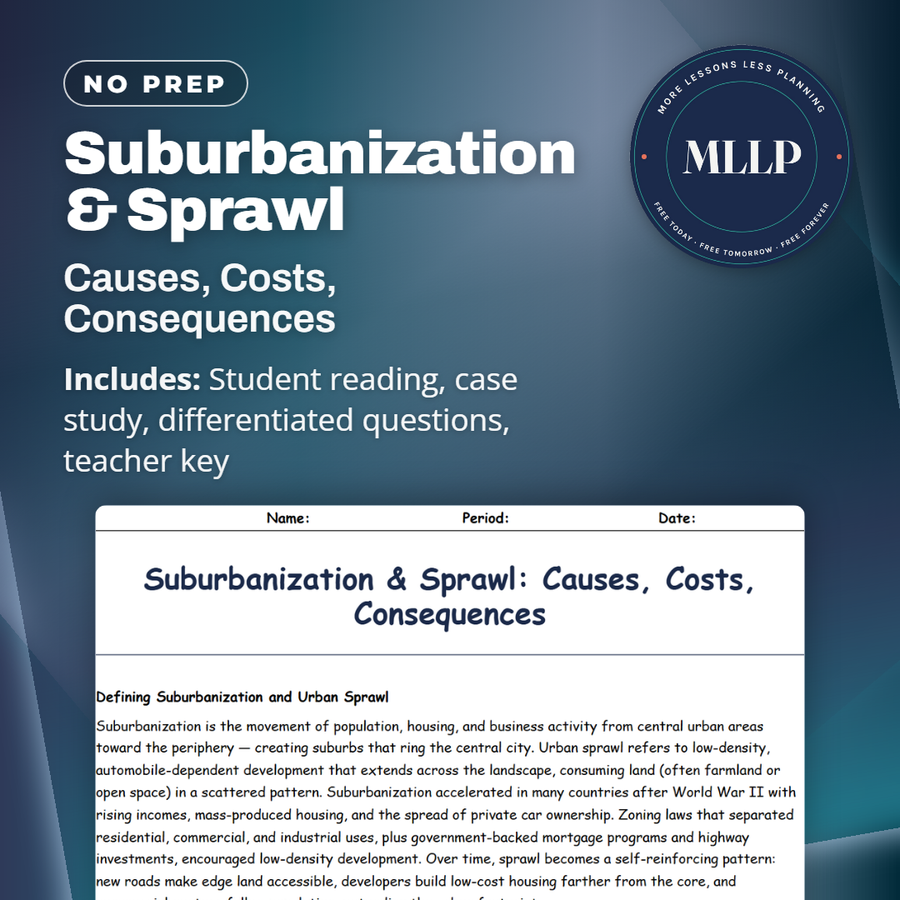
Suburbanization & Sprawl: Causes, Costs, Consequences
Quality reviewed September 2026
Facts verified September 14, 2026
- Subject
- Social Studies
- Grades
- Grades 9-12
- Length
- 8-page student worksheet
- Time
- About one 50-minute class period
- Great for
- Sub plans and independent work
- Includes
- Reading passage, comprehension questions + full answer key
- Format
- Print-and-go PDF
What students do
- Match terms like leapfrog development, growth boundary, and transit-oriented development to their correct definitions
- Fill in the blank sentences on urban sprawl, transit-oriented development, and greenbelts
- Answer multiple choice questions on what drove postwar suburbanization and the environmental costs of sprawl
- Write short answers on how parking minimums encourage sprawl and what incentives can push infill housing
What it covers
- The causes of suburbanization and urban sprawl, from postwar housing policy to car ownership to single-use zoning
- The costs of sprawl, including longer commutes, higher infrastructure costs, and lost farmland
- A case study on a city that grew rapidly around a new highway bypass and later adopted a growth boundary and infill incentives
Start reading this worksheet
Defining Suburbanization and Urban Sprawl
Suburbanization is the movement of population, housing, and business activity from central urban areas toward the periphery, creating suburbs that ring the central city. Urban sprawl refers to low-density, automobile-dependent development that extends across the landscape, consuming land (often farmland or open space) in a scattered pattern. Suburbanization accelerated in many countries after World War II with rising incomes, mass-produced housing, and the spread of private car ownership. Zoning laws that separated residential, commercial, and industrial uses, plus government-backed mortgage programs and highway investments, encouraged low-density development. Over time, sprawl becomes a self-reinforcing pattern: new roads make edge land accessible, developers build low-cost housing farther from the core, and commercial centers follow population, extending the urban footprint.
Causes: Postwar Housing, Cars, and Zoning
Several drivers explain why sprawl emerged as the dominant growth pattern in many contexts. First, postwar housing policy prioritized single-family homes with yards as a middle-class aspiration; that demand favored land-extensive development. Second, mass car ownership gave households mobility and the ability to live farther from workplaces; highways and arterial roads reduced travel times over long distances compared with older streetcar-era patterns. Third, land-use regulations (single-use zoning and low minimum densities) discouraged compact, mixed-use neighborhoods and made it difficult to build higher-density housing. Finally, economic incentives like lower land prices at the urban fringe and lower development costs for greenfield projects encouraged leapfrog development: new suburbs skip over undeveloped plots, leaving gaps that are later filled inefficiently.
Costs & Consequences: Commutes, Environment, and Social Patterns
Sprawl has multiple costs. Longer commutes increase household time spent traveling and raise car dependency, with consequences for greenhouse-gas emissions and local air quality. The environmental footprint expands as roads, parking, and rooftops replace permeable land and farmland, increasing stormwater runoff and habitat fragmentation. Sprawl often increases infrastructure costs for municipalities: extending water, sewer, and power across a dispersed area is more expensive per resident than servicing compact neighborhoods. Socially, sprawl can foster segregation by income and age because single-family suburbs often become accessible mainly to households with higher incomes or multiple cars; this can deepen inequalities in access to jobs, transit, and services. Additionally, leapfrog development increases land consumption and can leave agricultural land permanently lost to urbanization.
Like what you read? The full reading, the case study, and every question set are in the free download below, along with the answer key.
Why this matters
A highway bypass built decades ago is still deciding how long your commute is today. The case study traces one city from that bypass through years of sprawl to a fight over a growth boundary: postwar housing policy and single-use zoning pushed development outward, and the infrastructure costs and lost farmland showed up years later as the bill nobody budgeted for.
Parking minimums are the detail my students never expect to matter. Once they read how a required number of parking spaces per building can quietly encourage sprawl, they start looking at other ordinary zoning rules the same way, as decisions with consequences decades out instead of paperwork.
From one teacher to another
This one fits a lesson on urban growth patterns because it connects zoning decisions from decades ago to commute times and farmland loss today. The case study traces one city from a highway bypass through decades of sprawl to a political fight over a growth boundary, so students see how a single infrastructure choice reshapes a whole region. It pairs naturally with a lesson on smart growth or transit-oriented development.
What you get
Download
Where should I send the next one?
Everything here is free and it stays that way. Leave your email and I'll send you the new lessons as they go up. You can unsubscribe from any one of them.
Related resources
City Transport & Infrastructure: Moving Millions Efficiently

Gentrification & Housing: Winners, Losers, and Choices
Megacities vs Global Cities: Powerhouses of Today
Smart Growth & Urban Planning: Designing Better Cities
Sustainable Cities: Green Solutions & Urban Resilience
Urban Challenges: Pollution, Crime, and Inequality
Every lesson on this site is free to download and use. If one of them saved you a prep period, you can chip in a few bucks toward my three kids' daycare fund. That's genuinely where tips go.