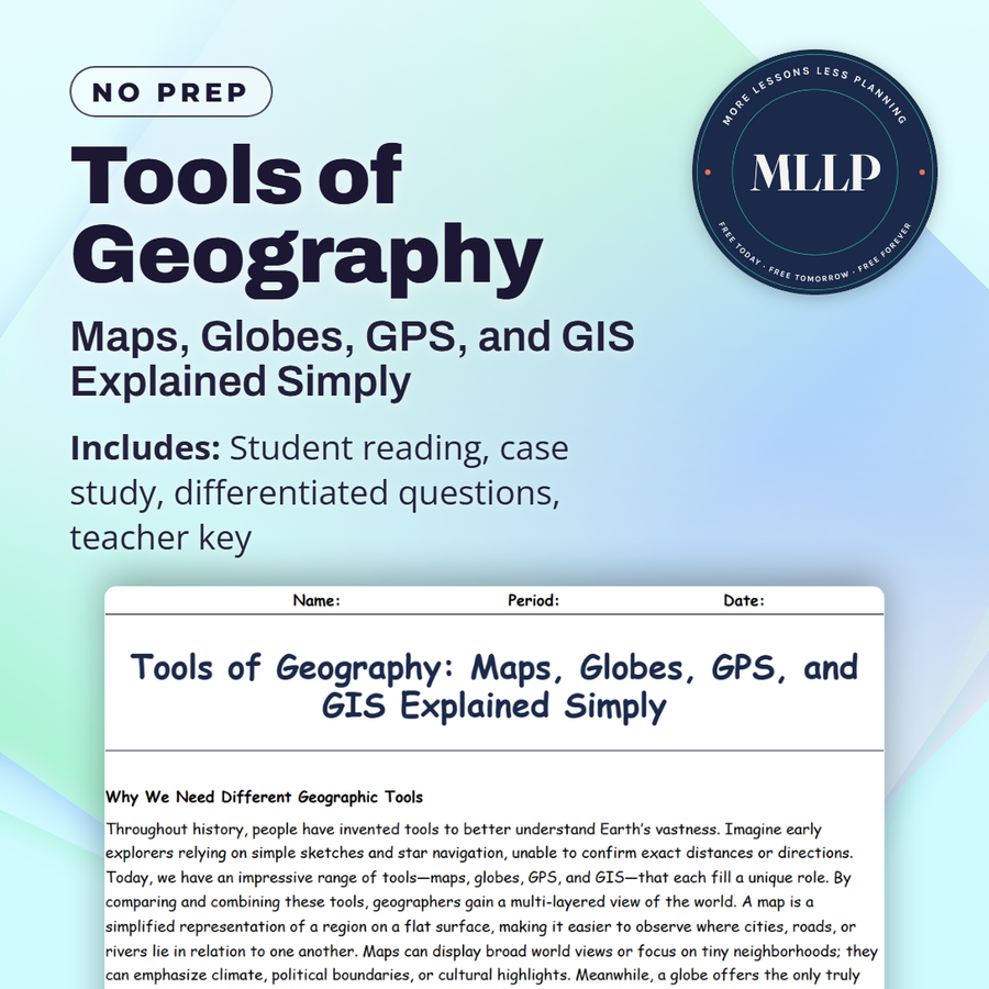
Tools of Geography: Maps, Globes, GPS, and GIS Explained Simply
Quality reviewed September 2026
Facts verified September 14, 2026
- Subject
- Social Studies
- Grades
- Grades 9-12
- Length
- 7-page student worksheet
- Time
- About one 50-minute class period
- Great for
- Sub plans and independent work
- Includes
- Reading passage, comprehension questions + full answer key
- Format
- Print-and-go PDF
What students do
- Match terms like contour lines, projection, remote sensing, paper atlas, and spatial database to their correct definitions
- Fill in the blank sentences on globes, satellite imagery, and how GIS overlays different map layers
- Answer multiple choice questions on the advantage of a globe, how GPS differs from older navigation, and what GIS is best described as
- Write short answers on when a globe is impractical, how a business could use GIS, and how GPS supports wildlife research
What it covers
- The differences between maps, globes, GPS, and GIS, and what each tool is best used for
- How GPS and GIS work together to layer real-time data over digital maps
- A case study on GIS specialists mapping a disaster zone after an earthquake to guide rescue and rebuilding efforts
Start reading this worksheet
Why We Need Different Geographic Tools
Throughout history, people have invented tools to better understand Earth’s vastness. Imagine early explorers relying on simple sketches and star navigation, unable to confirm exact distances or directions. Today, we have an impressive range of tools: maps, globes, GPS, and GIS. Each fills a unique role. By comparing and combining these tools, geographers gain a multi-layered view of the world. A map is a simplified representation of a region on a flat surface, making it easier to observe where cities, roads, or rivers lie in relation to one another. Maps can display broad world views or focus on tiny neighborhoods; they can emphasize climate, political boundaries, or cultural highlights. Meanwhile, a globe offers the only truly accurate model of Earth, capturing the planet’s spherical shape without the distortions found on flat maps. Globes, however, are less practical when it comes to portability or zooming in on small-scale details, so maps remain indispensable for day-to-day use. Technologies like GPS (Global Positioning System) and GIS (Geographic Information Systems) mark a leap forward from traditional cartography. GPS relies on satellites orbiting Earth to provide precise location data to receivers on land or sea. This ability to track real-time positions reinvents travel, scientific research, and even wildlife monitoring. GIS adds another layer by allowing the integration of multiple data sets (from demographic numbers to environmental patterns) over digital maps, revealing relationships at a glance.
Comparing Maps and Globes
When learning geography, many students wonder why both maps and globes are necessary if they show the same world. The truth is that each tool answers different questions. A globe excels at illustrating global proportions, such as how large Africa really is compared to Greenland, and it shows how countries align on Earth’s curved surface. If you spin a globe, you can visualize day-night cycles or the curvature of flight paths. That said, a globe’s drawbacks become clear when you need to examine a small region or plan a driving route. It is cumbersome to measure exact distances with a tape measure around a sphere, and focusing on details can be challenging if the globe is not big enough. Maps fill this gap by offering detailed views, but they inevitably introduce distortions. When transferring a spherical surface to a rectangle, certain features get stretched or squashed. This is where map projections come in, each with its own compromises: some preserve areas, others preserve shapes, but none can do everything perfectly. Despite these distortions, maps are practical and user-friendly. Foldable paper maps and digital map apps can pinpoint roads, walking trails, restaurant locations, and more. In the classroom, you might see a large wall map depicting political boundaries, with different colors assigned to each country. Right next to it, you might spot a globe used for identifying hemispheres or understanding the Earth’s tilt and its effect on seasons. Recognizing the advantages and limitations of both helps students appreciate why geographers rely on multiple resources to get the fullest picture of our planet.
Like what you read? The full reading, the case study, and every question set are in the free download below, along with the answer key.
Why this matters
After an earthquake flattens part of a city, rescue teams need to know which roads are gone and which shelters still stand. GIS specialists here answer exactly that, layering satellite imagery and GPS data into one map that guides rescue and rebuilding. A globe could never work that way, which is the point: maps, globes, GPS, and GIS each answer a different question.
GPS and GIS get treated as the same tool with two names, so it helps to separate them: one pinpoints a location, the other layers that location with data like road damage or available shelters. Once students see a business or a wildlife researcher use GIS the same way that disaster team did, mapping stops looking static and starts looking like a live decision-making tool.
From one teacher to another
This worksheet compares maps, globes, GPS, and GIS as the core tools geographers use, and why none of them replaces the others. The case study follows a GIS team mapping road damage and available shelters after a major earthquake, showing how satellite imagery and GPS data combine into a usable rescue map. Students also read about how a globe and a flat map answer different questions despite showing the same planet. I like that the case study grounds the technology in an emergency-response scenario. This works well in a unit introducing geographic tools and technology.
What you get
Download
Where should I send the next one?
Everything here is free and it stays that way. Leave your email and I'll send you the new lessons as they go up. You can unsubscribe from any one of them.
Related resources
Cartography Basics: How Maps Are Made and Interpreted
Latitude and Longitude: How to Find Any Point on Earth
Map Projections and Distortions: Why the World Isn’t Flat
Political vs. Physical Maps: What They Show and Why It Matters
Spatial Thinking and Geographic Inquiry: Asking the Right Questions
The Five Themes of Geography: Making Sense of Our World
Every lesson on this site is free to download and use. If one of them saved you a prep period, you can chip in a few bucks toward my three kids' daycare fund. That's genuinely where tips go.