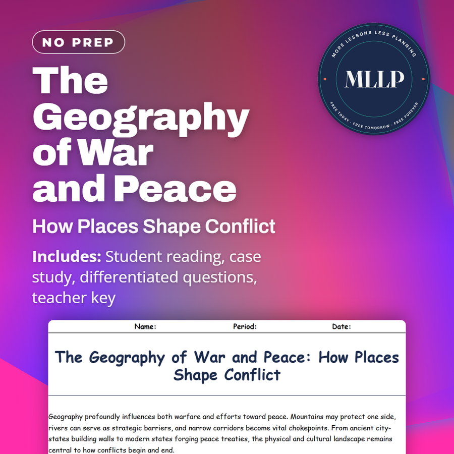
The Geography of War and Peace: How Places Shape Conflict
Quality reviewed September 2026
Facts verified September 14, 2026
- Subject
- Social Studies
- Grades
- Grades 9-12
- Length
- 7-page student worksheet
- Time
- About one 50-minute class period
- Great for
- Sub plans and independent work
- Includes
- Reading passage, comprehension questions + full answer key
- Format
- Print-and-go PDF
What students do
- Match terms like Armistice, Buffer State, and Bilateral Treaty to their correct definitions
- Fill in the blank sentences on chokepoints, climate change, and demilitarized zones
- Answer multiple choice questions on resources that can trigger conflict and what a DMZ is
- Write short answers on why mountains and rivers matter in military strategy and how tourism can turn former battlegrounds into zones of peace
What it covers
- How terrain like mountains, deserts, and coastlines has shaped military strategy from ancient times to World War II
- Resource-driven conflict and how peace efforts like the European Union grew out of shared coal and steel resources
- A case study excerpt on the Alpine Peace Accords, where a contested mountain pass became a symbol of cooperation
Start reading this worksheet
Geography profoundly influences both warfare and efforts toward peace. Mountains may protect one side, rivers can serve as strategic barriers, and narrow corridors become vital chokepoints. From ancient city-states building walls to modern states forging peace treaties, the physical and cultural landscape remains central to how conflicts begin and end.
Strategic Terrain and Military Tactics
Throughout history, generals have leveraged physical geography to outmaneuver enemies. High ground offers vantage points; deserts and jungles test supply lines. Coastal invasions often hinge on controlling ports. In World War II, the Allies’ decision to land in Normandy was partly determined by tides, weather, and the range of German defenses. Today’s technology, like drones or satellite imaging, doesn’t erase these factors. Armies still rely on roads, mountain passes, and water routes. States also invest in infrastructure (bridges, tunnels, airfields) that can double as civilian or military assets.
Borders and Buffer Zones
Many conflicts arise in borderlands, where states contest each other’s claims or cultural groups overlap. Buffer zones, often demilitarized, can lower tensions if both sides respect the terms. However, heavily militarized borders, like the one between North and South Korea, remain potential flashpoints. Sometimes, contested regions become a focus for diplomacy, with the United Nations or regional bodies stepping in to monitor or mediate. The success of such efforts depends on local and international will, funding, and trust between former adversaries.
Like what you read? The full reading, the case study, and every question set are in the free download below, along with the answer key.
Why this matters
A mountain pass that armies once fought over can end up managed jointly by both sides instead of defended by either one. That is the turn in the Alpine Peace Accords case study, where a contested pass becomes shared ground rather than a line on a map. Terrain is not scenery behind a conflict, it decides where armies can move and which resources are worth fighting over.
I use this right after a unit that treats war as purely ideological. Chokepoint, buffer state, and demilitarized zone describe physical reasons for conflict, and once students read how shared coal and steel became the seed of the European Union, they start asking whether the same resources that caused a war can also end one.
From one teacher to another
I like this reading because it does not treat geography as background scenery for conflict, it treats it as an active player. The Alpine Peace Accords case study is my favorite part, since it shows two nations turning a fought-over mountain pass into something they manage together. The key terms table pulls together chokepoint, buffer state, and demilitarized zone, which gives students a shared vocabulary before they hit the border disputes reading. This works well as a wrap-up for the political geography unit.
What you get
Download
Where should I send the next one?
Everything here is free and it stays that way. Leave your email and I'll send you the new lessons as they go up. You can unsubscribe from any one of them.
Related resources
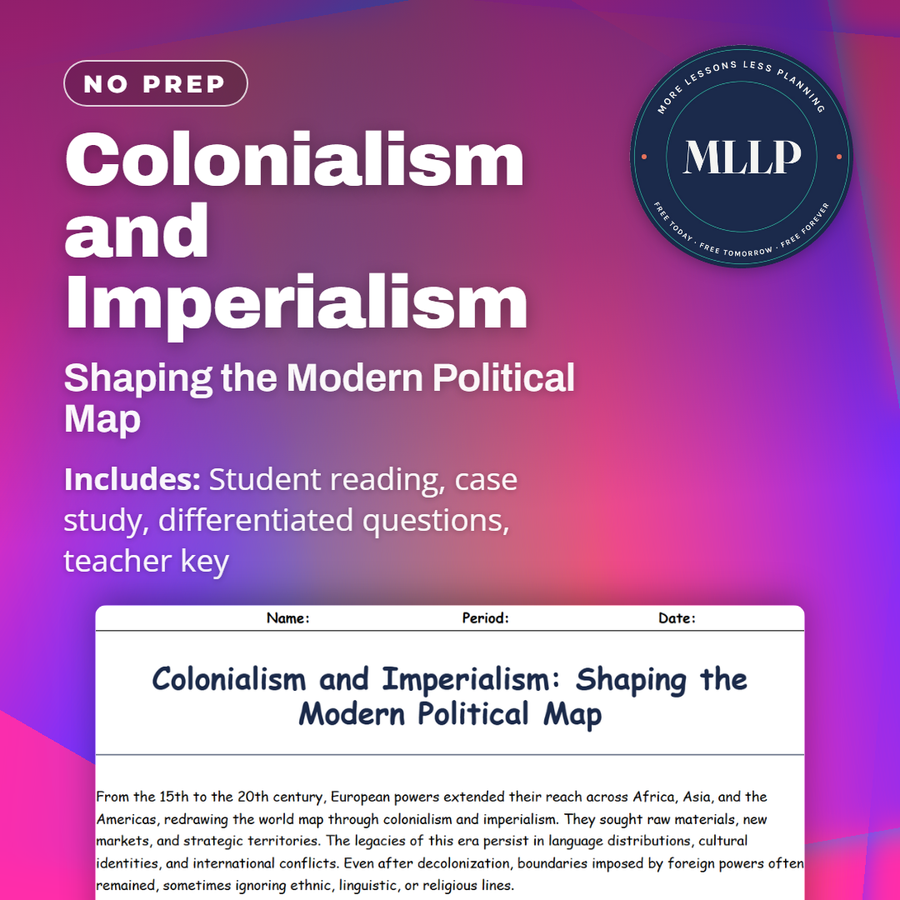
Colonialism and Imperialism: Shaping the Modern Political Map
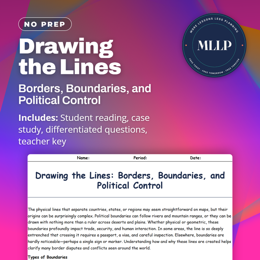
Drawing the Lines: Borders, Boundaries, and Political Control
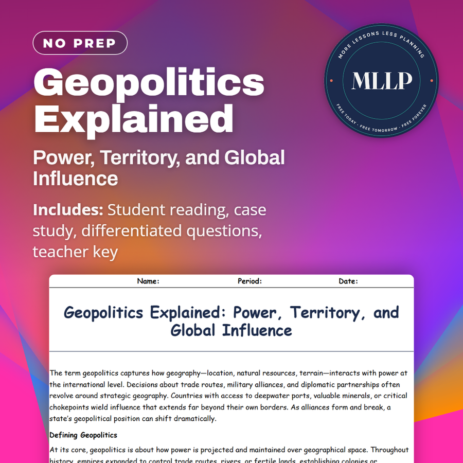
Geopolitics Explained: Power, Territory, and Global Influence
How Elections Are Mapped: A Guide to Electoral Geography
Nation, State, or Nation-State? Understanding Global Political Units
Political Conflicts and Border Disputes Around the World
Every lesson on this site is free to download and use. If one of them saved you a prep period, you can chip in a few bucks toward my three kids' daycare fund. That's genuinely where tips go.