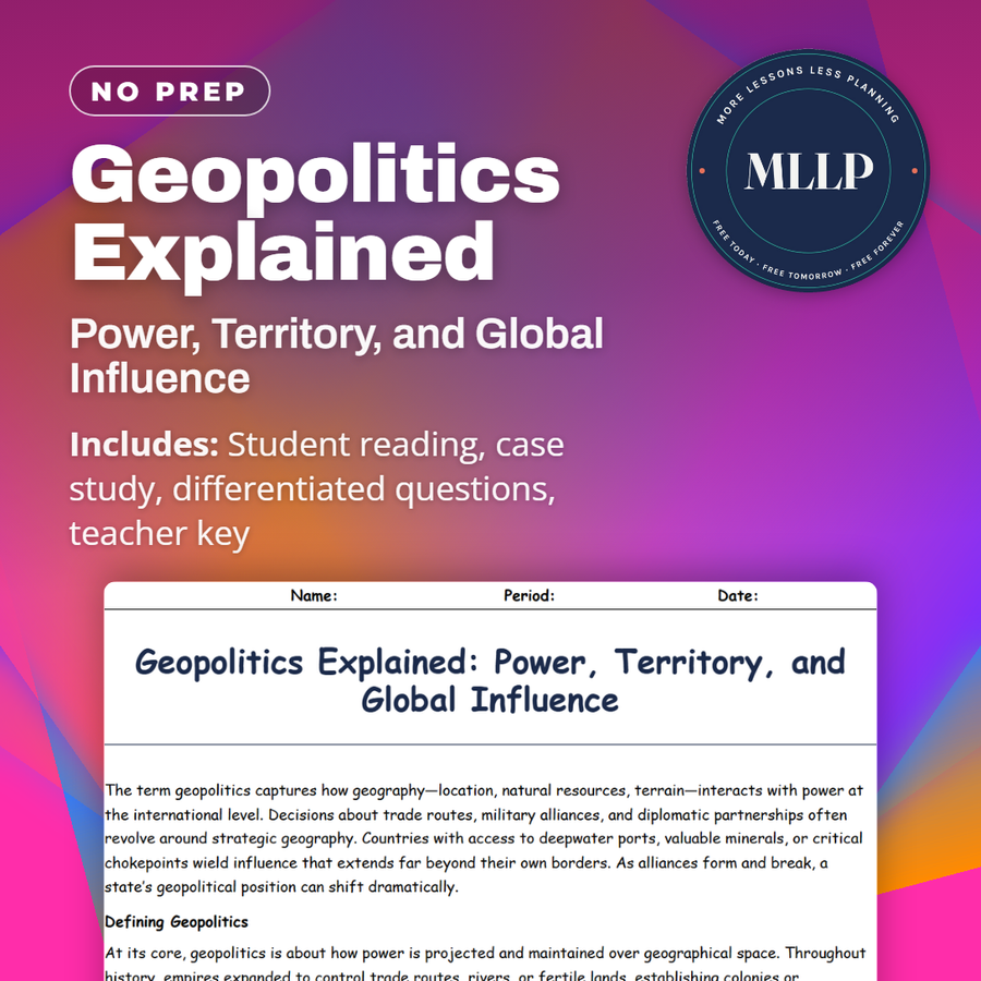
Geopolitics Explained: Power, Territory, and Global Influence
Quality reviewed September 2026
Facts verified September 14, 2026
- Subject
- Social Studies
- Grades
- Grades 9-12
- Length
- 7-page student worksheet
- Time
- About one 50-minute class period
- Great for
- Sub plans and independent work
- Includes
- Reading passage, comprehension questions + full answer key
- Format
- Print-and-go PDF
What students do
- Match terms like Resource Diplomacy, Naval Power, and Belt and Road to their correct definitions
- Fill in the blank sentences on soft power, the Belt and Road Initiative, and maritime chokepoints
- Answer multiple choice questions on the Heartland Theory and what soft power means
- Write short answers on why landlocked countries seek coastal alliances and how technology affects geopolitical competition
What it covers
- How geography and power intersect through trade routes, resources, and military alliances
- The Heartland and Rimland theories and how they shaped Cold War strategy
- A case study excerpt on the Suez Canal and how a single shipping route can affect global trade
Start reading this worksheet
The term geopolitics captures how geography (location, natural resources, terrain) interacts with power at the international level. Decisions about trade routes, military alliances, and diplomatic partnerships often revolve around strategic geography. Countries with access to deepwater ports, valuable minerals, or critical chokepoints wield influence that extends far beyond their own borders. As alliances form and break, a state’s geopolitical position can shift dramatically.
Defining Geopolitics
At its core, geopolitics is about how power is projected and maintained over geographical space. Throughout history, empires expanded to control trade routes, rivers, or fertile lands, establishing colonies or protective zones. In the modern era, global power is expressed not just through military might but also through economic and technological means. Nations compete for resources like oil, rare earth metals, and even data networks. Meanwhile, landlocked countries strive to secure corridors to ports, and island nations monitor maritime boundaries. The interplay of physical geography and political ambition shapes how states approach war, peace, alliances, and negotiations.
Heartland and Rimland Theories
Two influential theories in geopolitics emerged in the early 20th century. Halford Mackinder’s Heartland Theory argued that whoever controlled the “World Island” (Europe, Asia, and Africa combined) would dominate global affairs. He believed the vast interior, with its resources and difficult terrain, formed the strategic heartland. Later, Nicholas Spykman presented the Rimland Theory, suggesting that coastal areas (rich in ports, population centers, and economic activity) held the key to power. These ideas influenced Cold War strategies, with superpowers vying for alliances across Eurasia’s rim. While modern technology has reshaped some aspects of these theories, the basic premise endures: controlling certain regions can grant a strategic edge.
Like what you read? The full reading, the case study, and every question set are in the free download below, along with the answer key.
Why this matters
The Suez Canal carries enough of the world's shipping that this reading uses it as proof geography still drives power politics. The Heartland and Rimland theories give students the deeper framework: control of certain regions shaped strategy through the Cold War.
Landlocked countries chasing coastal alliances is a detail students do not expect, since maps usually flatten geography into borders and capitals. Treating chokepoints and soft power as real levers is what gets them asking why a country would fight over a strait instead of open land.
From one teacher to another
This one works best after basic map skills, because it pushes students into how geography and power actually connect. The Heartland and Rimland theories give them a framework for why certain regions get so much attention from world powers, and the Suez Canal case study makes that concrete with a route that carries a huge share of global trade. The key terms table covers chokepoints and soft power, which come up again in later units on conflict and trade. This one pairs naturally with a unit on economic geography.
What you get
Download
Where should I send the next one?
Everything here is free and it stays that way. Leave your email and I'll send you the new lessons as they go up. You can unsubscribe from any one of them.
Related resources
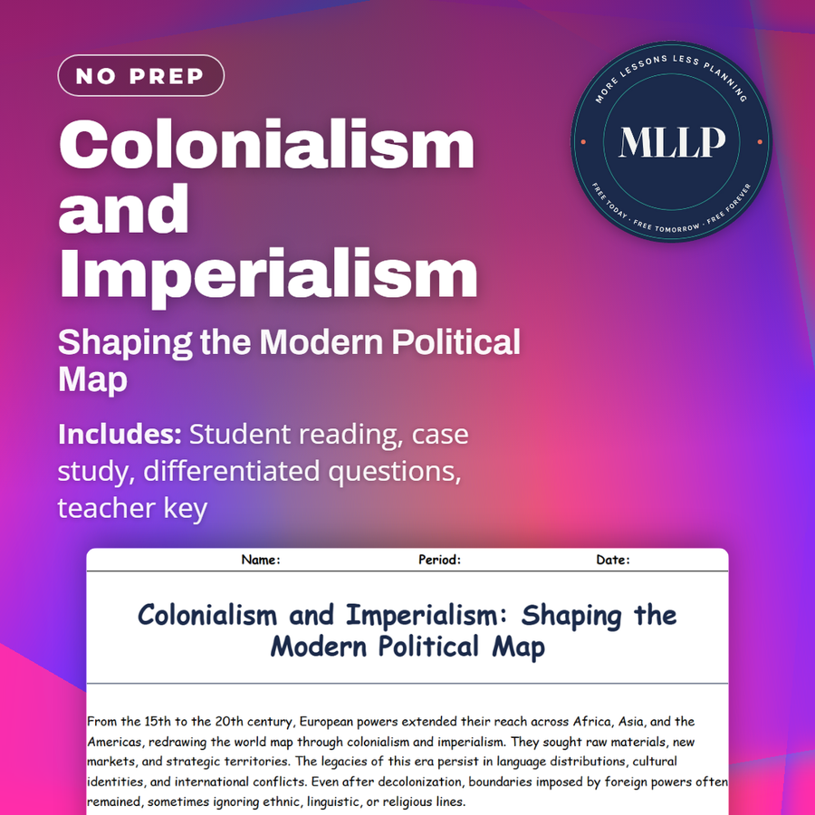
Colonialism and Imperialism: Shaping the Modern Political Map
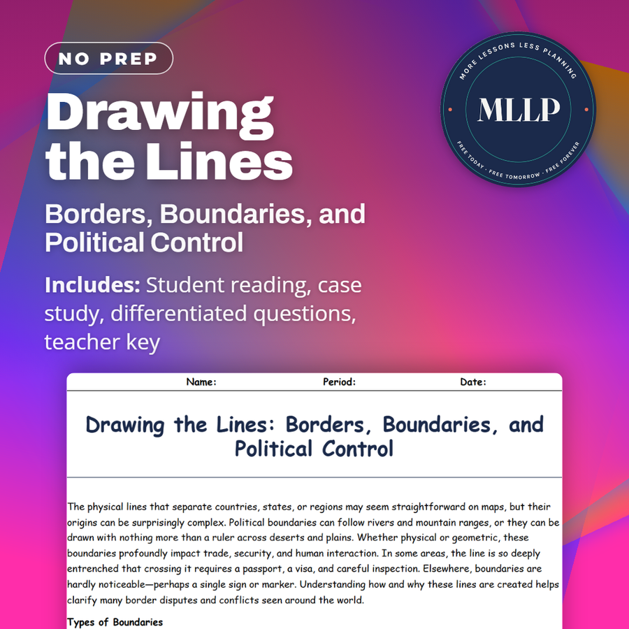
Drawing the Lines: Borders, Boundaries, and Political Control
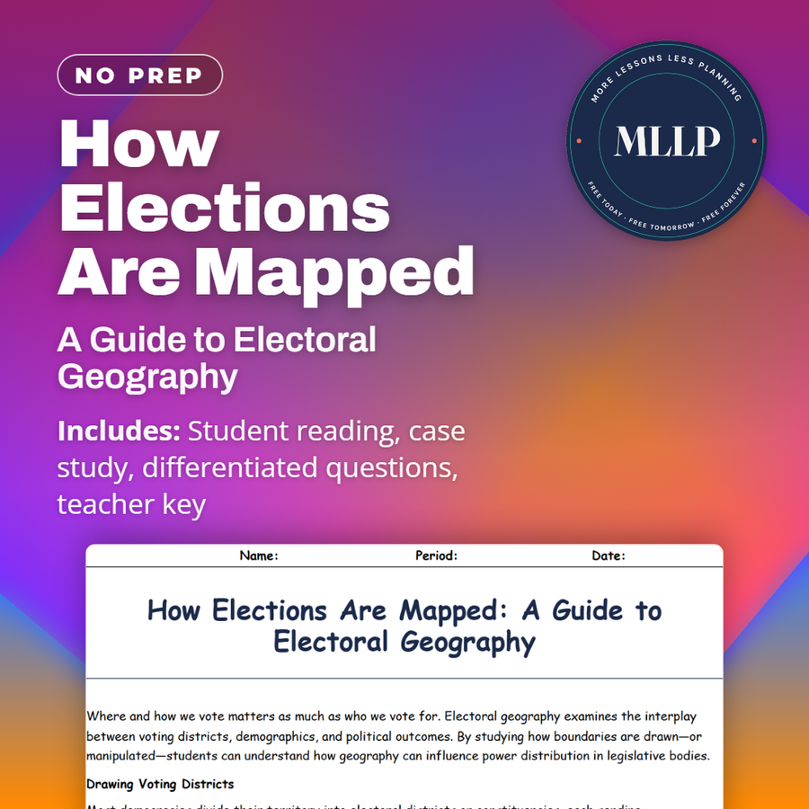
How Elections Are Mapped: A Guide to Electoral Geography
Nation, State, or Nation-State? Understanding Global Political Units
Political Conflicts and Border Disputes Around the World
Separatist Movements and the Fight for Independence
Every lesson on this site is free to download and use. If one of them saved you a prep period, you can chip in a few bucks toward my three kids' daycare fund. That's genuinely where tips go.