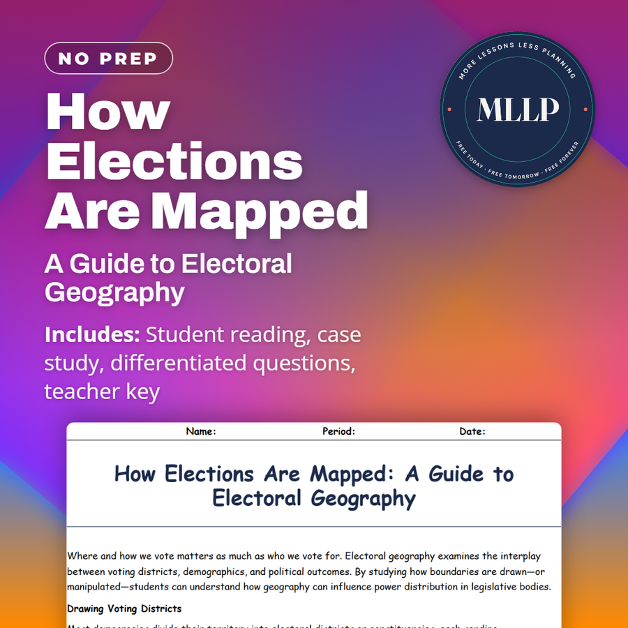
How Elections Are Mapped: A Guide to Electoral Geography
Quality reviewed September 2026
Facts verified September 14, 2026
- Subject
- Social Studies
- Grades
- Grades 9-12
- Length
- 7-page student worksheet
- Time
- About one 50-minute class period
- Great for
- Sub plans and independent work
- Includes
- Reading passage, comprehension questions + full answer key
- Format
- Print-and-go PDF
What students do
- Match terms like Redistricting, Packing, and Cracking to their correct definitions
- Fill in the blank sentences on gerrymandering, swing districts, and GIS technology
- Answer multiple choice questions on the main goal of gerrymandering and what a swing district is
- Write short answers on why a redrawn district map might end up in court and how population density shapes district shapes
What it covers
- How electoral districts are drawn and why redistricting can become contentious
- Gerrymandering tactics like packing and cracking, and how they can skew election results
- A case study excerpt on a local redistricting debate and the questions it raises about fair representation
Start reading this worksheet
Where and how we vote matters as much as who we vote for. Electoral geography examines the interplay between voting districts, demographics, and political outcomes. By studying how boundaries are drawn (or manipulated), students can understand how geography can influence power distribution in legislative bodies.
Drawing Voting Districts
Most democracies divide their territory into electoral districts or constituencies, each sending representatives to a governing assembly. The aim is to ensure fair representation: each district ideally holds roughly the same population, so that each vote carries equal weight. However, redistricting can be contentious. Parties in power may attempt to gerrymander, reshaping districts to concentrate opposing voters in fewer districts (“packing”) or spread them thinly across multiple districts (“cracking”). This practice can skew election results, allowing a minority in votes to become a majority in seats.
Gerrymandering and Its Effects
Gerrymandering impacts political competition, often creating “safe seats” that reduce incentives for candidates to appeal broadly. This may fuel partisan polarization, as representatives cater primarily to their party’s base rather than swing voters. In some places, independent commissions oversee redistricting to avoid conflicts of interest. Yet even such systems face scrutiny. The use of demographic data, such as ethnicity, income, or political affiliation, raises questions about voter disenfranchisement. Court cases sometimes decide whether a map is unfairly drawn, but the standards for proof remain complex.
Like what you read? The full reading, the case study, and every question set are in the free download below, along with the answer key.
Why this matters
A resident in the case study here looks at a new district map and asks why the lines zigzag around certain blocks. That question is the whole reading in miniature, since packing and cracking are just formal names for the kind of line-drawing that makes a neighborhood ask who drew this and why.
Students consistently mix up packing and cracking on the first pass, so I have them explain the difference out loud before moving on. Being able to say why a redrawn map might end up in court is the turning point: gerrymandering stops being a word from the news and becomes something they can diagram.
From one teacher to another
This is one of the more practical readings in the unit because gerrymandering shows up in the news every election cycle, and this gives students the vocabulary to actually follow the argument. The local redistricting debate case study puts a face on the issue, with a resident questioning why the new district lines zigzag around certain blocks. I like that the key terms table separates packing from cracking clearly, since students often mix those two up. This pairs well with a broader unit on political geography and government.
What you get
Download
Where should I send the next one?
Everything here is free and it stays that way. Leave your email and I'll send you the new lessons as they go up. You can unsubscribe from any one of them.
Related resources
Colonialism and Imperialism: Shaping the Modern Political Map
Drawing the Lines: Borders, Boundaries, and Political Control
Geopolitics Explained: Power, Territory, and Global Influence
Nation, State, or Nation-State? Understanding Global Political Units
Political Conflicts and Border Disputes Around the World
Separatist Movements and the Fight for Independence
Every lesson on this site is free to download and use. If one of them saved you a prep period, you can chip in a few bucks toward my three kids' daycare fund. That's genuinely where tips go.