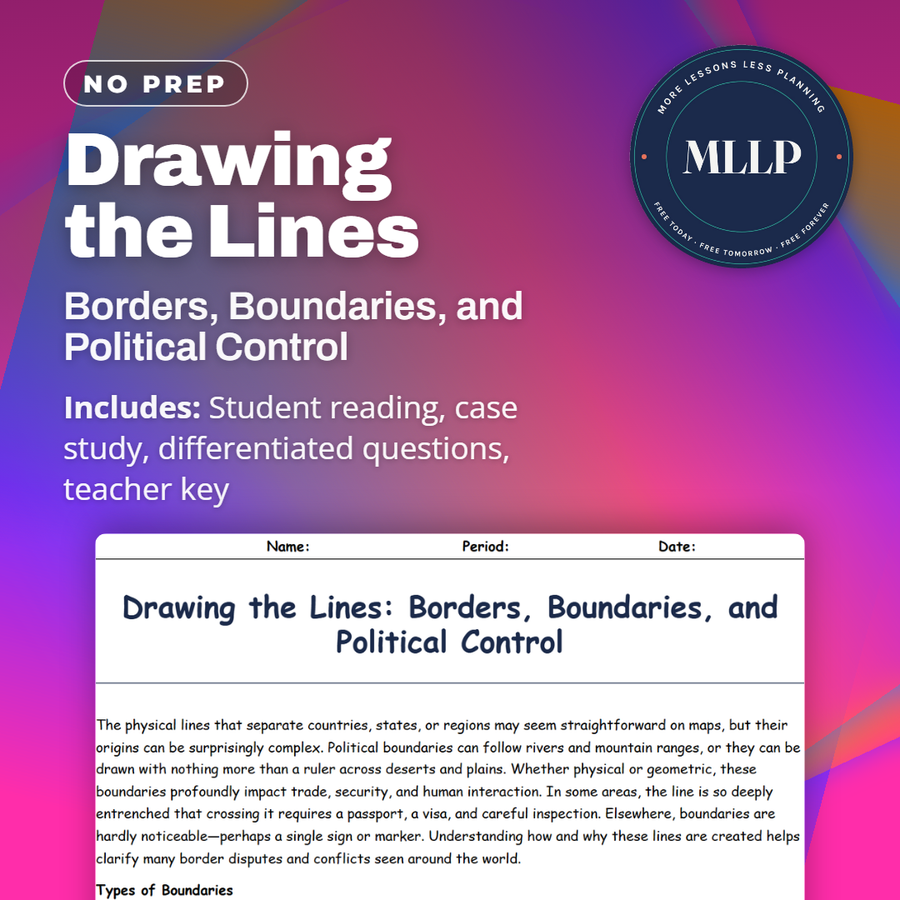
Drawing the Lines: Borders, Boundaries, and Political Control
Quality reviewed September 2026
Facts verified September 14, 2026
- Subject
- Social Studies
- Grades
- Grades 9-12
- Length
- 7-page student worksheet
- Time
- About one 50-minute class period
- Great for
- Sub plans and independent work
- Includes
- Reading passage, comprehension questions + full answer key
- Format
- Print-and-go PDF
What students do
- Match terms like Frontier, Demarcation, and Boundary Dispute to their correct definitions
- Fill in the blank sentences on buffer zones, colonialism, and cross-border communities
- Answer multiple choice questions on geometric boundaries, relic boundaries, and what a buffer zone is designed to do
- Write short answers on how colonial-era decisions still shape border disputes and how boundary lines affect trade
What it covers
- The different types of political boundaries, including geometric, physical, cultural, and relic boundaries
- Frontiers and buffer zones, including the Demilitarized Zone between North and South Korea
- A case study excerpt on the Durand Line, covering how a colonial-era boundary split the Pashtun people
Start reading this worksheet
The physical lines that separate countries, states, or regions may seem straightforward on maps, but their origins can be surprisingly complex. Political boundaries can follow rivers and mountain ranges, or they can be drawn with nothing more than a ruler across deserts and plains. Whether physical or geometric, these boundaries profoundly impact trade, security, and human interaction. In some areas, the line is so deeply entrenched that crossing it requires a passport, a visa, and careful inspection. Elsewhere, boundaries are hardly noticeable—perhaps a single sign or marker. Understanding how and why these lines are created helps clarify many border disputes and conflicts seen around the world.
Types of Boundaries
Boundaries can be geometric, following straight lines or arcs on a map (often drawn during colonial times with little regard for local cultures), or physical, using mountains, rivers, and deserts as natural dividers. Cultural boundaries may match the distribution of ethnic groups, languages, or religions. Occasionally, relic boundaries remain even after their original purpose disappears—for example, the once heavily guarded border between East and West Germany. Each type has implications for politics and daily life. Physical boundaries can provide natural defense or obstruct development, while cultural boundaries can help preserve shared traditions but also deepen ethnic divides. In modern geography, these categories often overlap, creating complicated scenarios.
How Borders Are Drawn and Disputed
Historically, colonial powers often drew borders for territorial claims, sometimes ignoring ethnic distributions. This legacy persists in regions like Africa, where straight lines cut across the lands of multiple tribes. As new states formed during decolonization, these artificial boundaries remained, leading to ongoing tensions. Disputes also arise over resources, such as rivers or mineral deposits, that straddle boundary lines. In some cases, local communities split by borders push for redrawn lines or special legal statuses. Meanwhile, powerful nations may negotiate boundaries through treaties, or they might act unilaterally, creating friction with neighbors. The complexity grows when one side refuses to recognize a boundary, fueling prolonged conflict.
Like what you read? The full reading, the case study, and every question set are in the free download below, along with the answer key.
Why this matters
A line on a map looks permanent, but this reading opens with the plainer truth: someone decided where it goes, and that decision has consequences for people on either side. The Durand Line, drawn by a British official in 1893, still splits Pashtun families who cross it for weddings and funerals.
What changes for students afterward is how they look at any border on a map. The boundary types table gives them the vocabulary, geometric, physical, cultural, relic, and the Demilitarized Zone between North and South Korea shows what a buffer zone is actually meant to prevent.
From one teacher to another
This one gets at something students do not always think about, that a border on a map is a decision someone made, and that decision has consequences for the people living on either side of it. The Durand Line case study is a great example, showing how a line drawn by a British official in 1893 still divides families who cross it for weddings and funerals. I like pairing this with the boundary types table so students can name what kind of line they are looking at on any map. It works well alongside the colonialism reading.
What you get
Download
Where should I send the next one?
Everything here is free and it stays that way. Leave your email and I'll send you the new lessons as they go up. You can unsubscribe from any one of them.
Related resources
Colonialism and Imperialism: Shaping the Modern Political Map
Geopolitics Explained: Power, Territory, and Global Influence
How Elections Are Mapped: A Guide to Electoral Geography
Nation, State, or Nation-State? Understanding Global Political Units
Political Conflicts and Border Disputes Around the World
Separatist Movements and the Fight for Independence
Every lesson on this site is free to download and use. If one of them saved you a prep period, you can chip in a few bucks toward my three kids' daycare fund. That's genuinely where tips go.