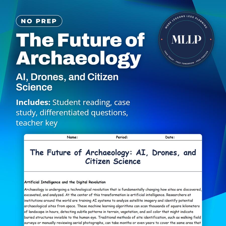
The Future of Archaeology: AI, Drones, and Citizen Science
Quality reviewed September 2026
Facts verified September 21, 2026
- Subject
- Social Studies
- Grades
- Grades 9-12
- Length
- 9-page student worksheet
- Time
- About one 50-minute class period
- Great for
- Sub plans and independent work
- Includes
- Reading passage, comprehension questions + full answer key
- Format
- Print-and-go PDF
What students do
- Flag a faint rectangle in satellite imagery as sixteen-year-old Maya Chen and follow it through GlobalXplorer's confirmation process
- Three fill-in-the-blank items check specifics from the reading, including the 2018 Guatemala LiDAR count and the Nazca geoglyph total
- Weigh the ethical risk that the same satellite tools helping archaeologists find sites could also help looters plunder them
- Match five terms, including LiDAR and GlobalXplorer, to their correct definitions
What it covers
- How GlobalXplorer's crowdsourced satellite review found a real Peruvian site through Maya Chen's case study
- The 2018 Guatemala LiDAR survey that revealed over 60,000 hidden Maya structures
- The dual-use risk that site-finding AI and satellite tools could also guide looters
Start reading this worksheet
Artificial Intelligence and the Digital Revolution
Archaeology is undergoing a technological revolution that is fundamentally changing how sites are discovered, excavated, and analyzed. At the center of this transformation is artificial intelligence. Researchers at institutions around the world are training AI systems to analyze satellite imagery and identify potential archaeological sites from space. These machine learning algorithms can scan thousands of square kilometers of landscape in hours, detecting subtle patterns in terrain, vegetation, and soil color that might indicate buried structures invisible to the human eye. Traditional methods of site identification, such as walking field surveys or manually reviewing aerial photographs, can take months or even years to cover the same area that AI processes in a single afternoon. In 2019, researchers using drone photography and fieldwork announced 143 previously unknown geoglyphs in the Nazca Desert in Peru, and a 2020 follow-up project that used AI to analyze aerial images found one more. These newly identified geoglyphs included human figures, animals, and geometric shapes that were too faint or too large to detect with the naked eye from ground level. AI is also being applied to artifact classification, where algorithms can sort and categorize thousands of pottery fragments, stone tools, or bone samples far more quickly and consistently than human researchers working by hand. Natural language processing tools are helping scholars decipher damaged or incomplete ancient texts by predicting missing characters based on patterns in known inscriptions. In one notable project, Google's DeepMind AI was used to help restore ancient Greek inscriptions that had been partially destroyed by weathering and age, successfully predicting missing text with remarkable accuracy. The system, called Ithaca, was trained on more than sixty thousand existing Greek inscriptions and could suggest plausible restorations for damaged sections while also estimating the date and geographic origin of each text, tasks that traditionally required years of specialized expertise in epigraphy. DNA analysis has also been transformed by computational power. Massive databases of ancient genetic material allow researchers to trace migration patterns, identify family relationships within burial sites, and even determine what diseases affected ancient populations. The combination of AI with enormous datasets is enabling archaeologists to ask questions and find answers at a scale that would have been unimaginable just twenty years ago. Some researchers predict that within the next decade, AI will have identified more potential archaeological sites from satellite imagery than human surveyors discovered during the entire twentieth century.
Drones, LiDAR, and Remote Sensing
Unmanned aerial vehicles, commonly known as drones, have become essential tools in modern archaeological fieldwork. Equipped with high-resolution cameras, drones can photograph excavation sites from above, creating detailed orthomosaic maps that stitch hundreds of individual images into a single georeferenced aerial view. These maps allow archaeologists to track changes at a dig site over time with centimeter-level accuracy, making it possible to document each layer of an excavation far more precisely than traditional hand-drawn plans ever could. Drones are also significantly cheaper and more flexible than hiring helicopters or aircraft for aerial photography, which means that even small research teams with limited budgets can now produce professional-quality aerial documentation of their sites. A single survey-grade drone costing a few thousand dollars can replace aerial photography sessions that previously required chartering an aircraft at ten times the expense, and the drone can be deployed repeatedly throughout a dig season to capture progress at every stage of excavation. Some teams program drones to fly identical automated flight paths on a weekly schedule, producing time-lapse documentation that shows each excavation layer being removed in precise sequence. Beyond simple photography, drones can carry specialized sensors including thermal cameras that detect temperature differences in soil caused by buried walls or foundations, and multispectral sensors that identify variations in plant health indicating subsurface features. Perhaps the most powerful remote sensing technology is LiDAR, which stands for Light Detection and Ranging. LiDAR systems mounted on drones or aircraft fire millions of laser pulses at the ground per second. By measuring how long each pulse takes to bounce back, the system creates an extraordinarily detailed three-dimensional map of the terrain below. The revolutionary aspect of LiDAR is its ability to penetrate dense forest canopy and reveal the ground surface beneath. In 2018, LiDAR surveys of the Guatemalan jungle revealed more than sixty thousand previously unknown Maya structures, including pyramids, palaces, fortifications, and raised highways connecting cities. This single survey reshaped scholarly understanding of the Maya civilization, suggesting a population several times larger than previous estimates. Similar LiDAR discoveries have been made in Cambodia, where laser scanning revealed vast medieval urban networks surrounding the temples of Angkor Wat, showing that the famous temple complex was just the ceremonial center of a sprawling city that had been completely hidden by centuries of jungle growth. These discoveries demonstrate that LiDAR has the potential to fundamentally rewrite the history of civilizations that flourished in heavily forested regions where traditional ground surveys were nearly impossible to conduct.
Like what you read? The full reading, the case study, and every question set are in the free download below, along with the answer key.
Why this matters
Maya Chen's case study matters because it shows students a real, achievable path into a field that can otherwise feel closed off to anyone without a graduate degree, a shovel, and a plane ticket. A teenager with a phone and a free evening genuinely contributed to a real discovery, and that is a much more honest picture of how large-scale archaeological survey works now than the image of a single expert in the field. The dual-use question is worth sitting with too, since it is the same tension students will meet in plenty of other technology conversations, a tool built to protect something can be turned around and used to exploit it, and the fix is rarely as simple as banning the tool.
From one teacher to another
This reading covers three technologies reshaping how archaeological sites get found, artificial intelligence scanning satellite imagery, drones and LiDAR mapping terrain through forest canopy, and citizen science platforms that put ordinary volunteers to work. The AI section covers Ithaca, a DeepMind system trained on more than 60,000 Greek inscriptions that can predict missing text on damaged stone, and the 2018 LiDAR survey that revealed over 60,000 previously unknown Maya structures hidden under Guatemalan jungle. GlobalXplorer, the citizen science platform built by Sarah Parcak, gets its own case study, following sixteen-year-old Maya Chen as she flags a faint rectangle in a satellite tile from her couch, a flag that eventually leads professional archaeologists to a real pre-Inca terrace complex. The final passage raises the ethical questions these tools create, including who owns the data they generate and whether the same satellite imagery that helps archaeologists could also guide looters to a site first.
What you get
Download
Where should I send the next one?
Everything here is free and it stays that way. Leave your email and I'll send you the new lessons as they go up. You can unsubscribe from any one of them.
Related resources

Angkor Wat: The Jungle Temple Complex

Doggerland: The Lost Land Beneath the North Sea
Lost Cities & Underwater Archaeology: An Overview

Machu Picchu to Gobekli Tepe: Sites That Rewrote the Textbooks

Petra: The Rose-Red City Carved in Stone
Pompeii and Herculaneum Revisited: New Discoveries Still Emerging
Every lesson on this site is free to download and use. If one of them saved you a prep period, you can chip in a few bucks toward my three kids' daycare fund. That's genuinely where tips go.