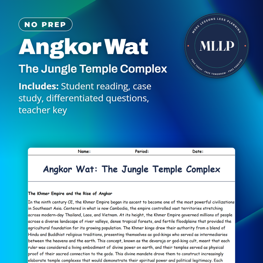
Angkor Wat: The Jungle Temple Complex
Quality reviewed September 2026
Facts verified September 21, 2026
- Subject
- Social Studies
- Grades
- Grades 9-12
- Length
- 9-page student worksheet
- Time
- About one 50-minute class period
- Great for
- Sub plans and independent work
- Includes
- Reading passage, comprehension questions + full answer key
- Format
- Print-and-go PDF
What students do
- Prioritize water distribution as royal engineer Dara during a drought when rice farmers, temple priests, and eroding canal walls all compete for the same shrinking supply
- Match five terms, including baray and hydraulic city, to their correct definitions
- Three short-answer questions ask why crediting Henri Mouhot with "discovering" Angkor Wat gets the history wrong
- Work out what the 2012 and 2015 LiDAR surveys found hidden under 400 square miles of jungle canopy
What it covers
- The Khmer god-king religious system that turned Angkor Wat into proof of Suryavarman II's divine authority
- How the West Baray and its network of canals let Khmer farmers grow three rice harvests a year
- What the 2012 LiDAR survey found hidden under the jungle canopy, including the city of Mahendraparvata
Start reading this worksheet
The Khmer Empire and the Rise of Angkor
In the ninth century CE, the Khmer Empire began its ascent to become one of the most powerful civilizations in Southeast Asia. Centered in what is now Cambodia, the empire controlled vast territories stretching across modern-day Thailand, Laos, and Vietnam. At its height, the Khmer Empire governed millions of people across a diverse landscape of river valleys, dense tropical forests, and fertile floodplains that provided the agricultural foundation for its growing population. The Khmer kings drew their authority from a blend of Hindu and Buddhist religious traditions, presenting themselves as god-kings who served as intermediaries between the heavens and the earth. This concept, known as the devaraja or god-king cult, meant that each ruler was considered a living embodiment of divine power on earth, and their temples served as physical proof of their sacred connection to the gods. This divine mandate drove them to construct increasingly elaborate temple complexes that would demonstrate their spiritual power and political legitimacy. Each successive king attempted to outdo his predecessors by building larger and more ornate structures, creating a centuries-long architectural arms race that produced some of the most remarkable buildings in human history. King Suryavarman II commissioned the construction of Angkor Wat in the early twelfth century, dedicating it to the Hindu god Vishnu. Construction required an estimated workforce of thousands of laborers, artisans, and sculptors working over approximately thirty years to complete the project. Massive sandstone blocks were quarried from the Kulen Mountains more than thirty miles away and transported to the construction site using a combination of canal boats and elephant-drawn sledges. The temple was designed as a symbolic representation of Mount Meru, the sacred mountain at the center of the universe in Hindu cosmology. Its five central towers rise in a quincunx pattern, surrounded by an enormous moat measuring nearly four miles in total length. The walls of Angkor Wat are covered in intricate bas-reliefs that stretch for over half a mile, depicting scenes from Hindu mythology, historical battles, and daily life in the Khmer court. These carvings remain some of the finest examples of classical Khmer art ever produced. One particularly famous panel depicts the Churning of the Ocean of Milk, a Hindu creation narrative showing gods and demons pulling a cosmic serpent to churn the primordial ocean, rendered in extraordinary detail across nearly two hundred feet of carved stone. At its peak, the broader Angkor complex was home to an estimated population of nearly one million people, making it one of the largest pre-industrial cities in human history.
The Hydraulic City and French Rediscovery
What made Angkor truly remarkable was not just its temples but the massive water management system that sustained its population. Archaeologists refer to Angkor as a hydraulic city because its entire urban infrastructure depended on an elaborate network of reservoirs called barays, canals, and channels that captured monsoon rains and distributed water throughout the year. The West Baray alone measures five miles long and one and a half miles wide, holding more than forty-five million cubic meters of water. Engineers constructed these reservoirs by building enormous earthen embankments rather than digging below ground level, a technique that allowed water to be distributed to lower-lying agricultural fields through gravity-fed channels without the need for mechanical pumps. The entire system functioned as an interconnected grid, with smaller community reservoirs and distribution channels branching off from the main barays to serve individual neighborhoods and farming districts across the greater Angkor region. This system allowed Khmer farmers to produce multiple rice harvests per year, generating the agricultural surplus that funded the empire's monumental construction projects. The surplus rice also supported a large class of non-farming specialists, including stone carvers, engineers, priests, dancers, and soldiers, whose labor was essential to maintaining both the empire's cultural achievements and its military dominance over neighboring kingdoms. When the water system eventually failed due to a combination of climate shifts and infrastructure neglect in the fifteenth century, the empire collapsed and the jungle slowly reclaimed the city. Prolonged droughts weakened the system, while unusually intense monsoon seasons caused catastrophic flooding that overwhelmed canal walls and silted up critical reservoirs, creating a cycle of damage that proved impossible to repair. For centuries, Angkor existed primarily in local Cambodian memory and occasional accounts from visiting monks and traders. In 1860, French naturalist Henri Mouhot visited Angkor Wat; his widely read accounts, published after his death, described it as grander than anything left by Greece or Rome. While Mouhot did not technically discover the site, since local populations had always known of its existence, his writings stirred European fascination with the ruins. French colonial archaeologists subsequently spent decades clearing vegetation, cataloging structures, and attempting restorations, though their methods sometimes caused as much damage as they prevented. Early restoration teams used chemical treatments to clean stone surfaces that inadvertently accelerated weathering, and some structural reinforcements introduced materials that expanded and contracted at different rates than the original sandstone, creating new cracks in walls that had survived centuries of jungle growth.
Like what you read? The full reading, the case study, and every question set are in the free download below, along with the answer key.
Why this matters
Angkor's collapse traces back to a water system that could not adapt when the monsoon pattern shifted, and that is a specific, checkable version of a problem students will keep meeting, infrastructure built for one climate can fail hard when the climate changes. The 2012 LiDAR survey is also a good corrective for how students picture archaeology. Nobody hacked through vines to find a lost city; a plane flew over the jungle firing lasers, and a computer did the rest. That is worth naming directly, since so much of what students think archaeology looks like comes from movies rather than how the work actually gets done today.
From one teacher to another
Angkor Wat's five central towers get most of the attention, but the reading spends just as much time on the invisible engineering underneath the temple, a grid of barays, canals, and reservoirs that let Khmer farmers pull three rice harvests a year out of the land around Angkor. That surplus paid for the carvers, priests, and soldiers who built and maintained a temple city that held nearly a million people at its peak. Students work through King Suryavarman II's twelfth-century construction project, the god-king belief system that justified it, and the water system that quietly kept the whole empire fed. A case study drops students into 1180 CE as a hydraulic engineer named Dara, rationing a shrinking water supply between farmers, temple priests, and eroding canal walls. The last section covers the 2012 and 2015 LiDAR surveys that revealed Angkor was roughly 400 square miles of planned city, not the stone temples alone that tourists see today.
What you get
Download
Where should I send the next one?
Everything here is free and it stays that way. Leave your email and I'll send you the new lessons as they go up. You can unsubscribe from any one of them.
Related resources

Doggerland: The Lost Land Beneath the North Sea
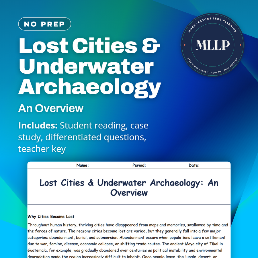
Lost Cities & Underwater Archaeology: An Overview
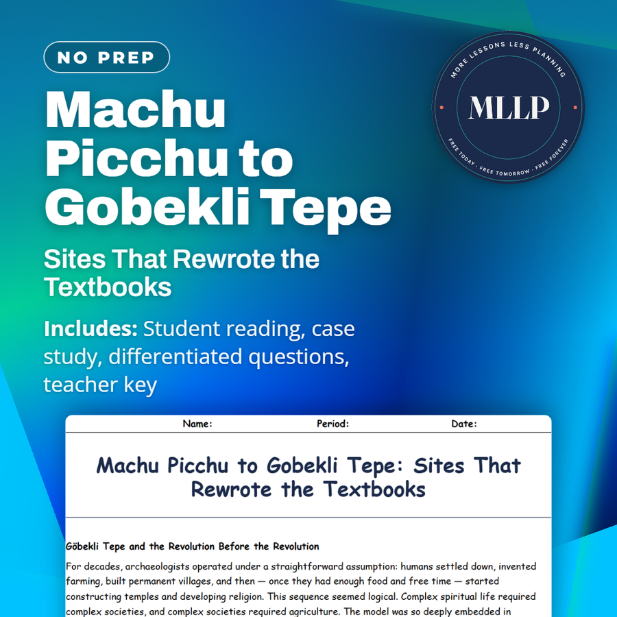
Machu Picchu to Gobekli Tepe: Sites That Rewrote the Textbooks
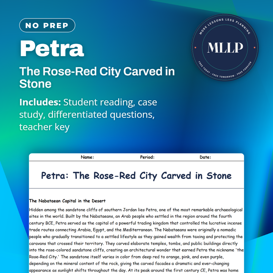
Petra: The Rose-Red City Carved in Stone
Pompeii and Herculaneum Revisited: New Discoveries Still Emerging
Shipwrecks of the Mediterranean: An Underwater Museum
Every lesson on this site is free to download and use. If one of them saved you a prep period, you can chip in a few bucks toward my three kids' daycare fund. That's genuinely where tips go.