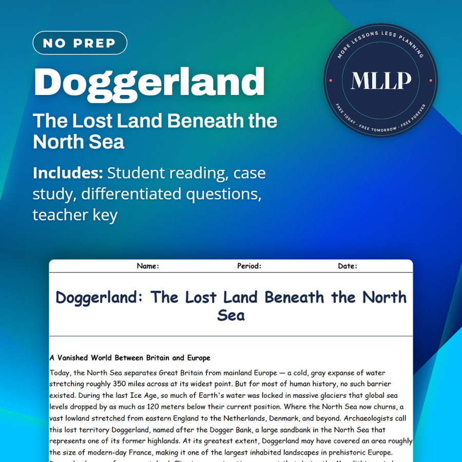
Doggerland: The Lost Land Beneath the North Sea
Quality reviewed September 2026
Facts verified September 21, 2026
- Subject
- Social Studies
- Grades
- Grades 9-12
- Length
- 9-page student worksheet
- Time
- About one 50-minute class period
- Great for
- Sub plans and independent work
- Includes
- Reading passage, comprehension questions + full answer key
- Format
- Print-and-go PDF
What students do
- Weigh why a single carved antler tool, hauled up in a 2008 net, counts as proof that people once lived where a trawler now fishes
- Three fill-in-the-blank items pull the sea-level drop, the Colinda Point's discovery year, and the Storegga Slide's date straight from the reading
- Match five terms, including Storegga Slide and submerged landscape, to their correct definitions
- Explain why calling Doggerland a land bridge misrepresents a homeland where people lived for thousands of years
What it covers
- Why Doggerland was a resource-rich homeland and not a narrow strip of land people crossed
- How North Sea fishing trawlers accidentally became the main source of Doggerland artifacts
- The Storegga Slide tsunami around 6200 BCE and how it drowned Doggerland's last islands
Start reading this worksheet
A Vanished World Between Britain and Europe
Today, the North Sea separates Great Britain from mainland Europe, a cold, gray expanse of water stretching roughly 350 miles across at its widest point. But for most of human history, no such barrier existed. During the last Ice Age, so much of Earth's water was locked in massive glaciers that global sea levels dropped by as much as 120 meters below their current position. Where the North Sea now churns, a vast lowland stretched from eastern England to the Netherlands, Denmark, and beyond. Archaeologists call this lost territory Doggerland, named after the Dogger Bank, a large sandbank in the North Sea that represents one of its former highlands. At its greatest extent, Doggerland may have covered an area roughly the size of modern-day France, making it one of the largest inhabited landscapes in prehistoric Europe. Doggerland was no frozen wasteland. Climate reconstructions suggest that during the Mesolithic period, roughly 10,000 to 6,000 BCE, much of it consisted of gently rolling hills, marshlands, river valleys, and lakes teeming with fish and waterfowl. Forests of birch, pine, and hazel covered the higher ground, while the lowlands offered rich grazing for deer and aurochs, the wild ancestors of modern cattle. Pollen cores extracted from seabed sediments confirm the presence of oak, elm, and lime trees during warmer intervals, indicating that parts of Doggerland supported dense deciduous woodland. Rivers that now flow separately into the North Sea (including the Thames, the Rhine, and the Meuse) once merged into a single massive river system that drained westward across the Doggerland plain. These interconnected waterways would have provided both transportation routes and abundant freshwater resources for the communities living along their banks. Archaeological evidence suggests that seasonal flooding along these rivers deposited nutrient-rich silt across wide floodplains, creating fertile zones that attracted both wildlife and the humans who hunted them. The landscape also supported large herds of wild horse and elk, whose bones have been recovered from the seabed alongside the remains of wolves, bears, and beavers, evidence of a thriving and diverse ecosystem. For the Mesolithic hunter-gatherers who lived there, Doggerland would have been prime real estate: a resource-rich landscape connecting what are now two separate landmasses. It was not a narrow land bridge that people hurried across. It was a homeland: a place where communities lived, hunted, fished, and buried their dead for thousands of years.
Evidence from the Deep: Fishing Boats and Fossil Finds
The first clues about Doggerland came not from archaeologists but from fishermen. For over a century, North Sea trawlers dragging their nets along the seabed have pulled up objects that had no business being on the ocean floor. Barbed antler points, flint tools, carved bone harpoons, and the bones of land animals (red deer, mammoth, woolly rhinoceros, and even lion) have all been hauled up in fishing nets, particularly around the Dogger Bank and the Brown Bank off the Dutch coast. In some cases, trawlers have even recovered human skeletal remains, including a fragment of a Neanderthal skull dredged from the seabed off the Dutch coast and dated to roughly 40,000 years ago. This shows that Doggerland's history extends far deeper than the Mesolithic period. In 1931, a British trawler called the Colinda pulled up a lump of peat containing a barbed antler point that had clearly been shaped by human hands. This artifact, now known as the Colinda Point, was one of the earliest pieces of direct evidence that humans had lived on land now submerged beneath the North Sea. Dutch and British fishermen continued reporting similar finds throughout the twentieth century, and museum collections gradually accumulated thousands of artifacts and animal bones from the seabed. Amateur collectors along the Dutch coast also contributed significantly, cataloging flint blades and worked bone fragments that washed ashore after storms disturbed shallow seabed deposits. The sheer volume of these accidental discoveries suggested that Doggerland had not been sparsely inhabited but rather a densely occupied landscape with a significant population. Beginning in the early 2000s, archaeologist Vince Gaffney of the University of Birmingham led a groundbreaking project to map Doggerland's submerged landscape using seismic survey data originally collected by oil and gas companies. By analyzing these three-dimensional scans of the seabed sediments, Gaffney's team reconstructed river channels, coastlines, lakes, and hills, revealing a detailed geography of a land that had been underwater for over 8,000 years. The resulting maps showed features as specific as individual streambeds, estuaries, and what appeared to be marshland areas that would have been ideal for seasonal hunting camps. More recent surveys have employed multibeam sonar technology to produce even higher-resolution images, revealing subtle topographic features such as ancient sand dunes and possible settlement platforms. The mapping project transformed Doggerland from a curiosity into a legitimate archaeological landscape.
Like what you read? The full reading, the case study, and every question set are in the free download below, along with the answer key.
Why this matters
Doggerland is a useful corrective to the idea that a land bridge is just a corridor people walked across on their way somewhere else. People lived there, raised families there, and buried their dead there for thousands of years, and its slow drowning would have played out over so many generations that no single person would have seen the whole change happen. That is a strange kind of disaster to think about, not a single flood, but a coastline that kept getting a little smaller every decade for centuries before the Storegga tsunami finished the job. Students also get a concrete example of how much archaeology depends on lucky accidents, since fishermen with no training found this evidence decades before any archaeologist thought to look for it.
From one teacher to another
Doggerland sat where the North Sea now churns, a lowland roughly the size of France that stayed dry through most of the last Ice Age because so much water was locked in glaciers. The reading follows the evidence from the ground up, fishing trawlers dragging up flint tools and antler harpoons for over a century, the 1931 Colinda Point that first proved people had lived there, and Vince Gaffney's use of old oil-company seismic data to map rivers and hills that have been underwater for eight thousand years. A case study follows a 2008 net haul off the Dutch coast, a carved antler tool that turned a fishing trip into an archaeological find. The final passage covers how Doggerland disappeared, not in one event but over thousands of years of rising seas, ending with the Storegga Slide, an underwater landslide off Norway around 6200 BCE that sent a tsunami over the last remaining islands.
What you get
Download
Where should I send the next one?
Everything here is free and it stays that way. Leave your email and I'll send you the new lessons as they go up. You can unsubscribe from any one of them.
Related resources

Angkor Wat: The Jungle Temple Complex
Lost Cities & Underwater Archaeology: An Overview

Machu Picchu to Gobekli Tepe: Sites That Rewrote the Textbooks
Petra: The Rose-Red City Carved in Stone
Pompeii and Herculaneum Revisited: New Discoveries Still Emerging
Shipwrecks of the Mediterranean: An Underwater Museum
Every lesson on this site is free to download and use. If one of them saved you a prep period, you can chip in a few bucks toward my three kids' daycare fund. That's genuinely where tips go.