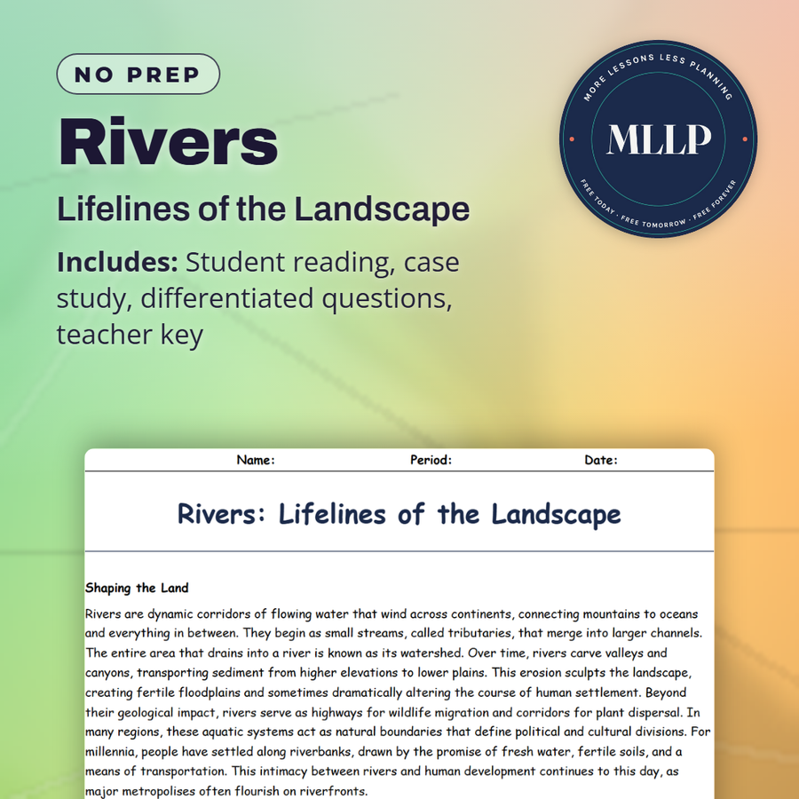
Rivers: Lifelines of the Landscape
Quality reviewed September 2026
Facts verified September 14, 2026
- Subject
- Social Studies
- Grades
- Grades 9-12
- Length
- 6-page student worksheet
- Time
- About one 50-minute class period
- Great for
- Sub plans and independent work
- Includes
- Reading passage, comprehension questions + full answer key
- Format
- Print-and-go PDF
What students do
- Match terms like delta, tributary, and floodplain to their correct definitions
- Fill in the blank sentences on river channels, oxbow lakes, and deposition
- Answer multiple choice questions on how rivers shape landscapes, what a watershed is, and how oxbow lakes form
- Write short answers on why rivers were crucial to human settlement, how upstream pollution affects downstream communities, and what strategies reduce flood damage
What it covers
- How rivers shape landscapes through erosion, transportation, and deposition, from headwaters to deltas
- Major world rivers like the Nile, Amazon, and Mississippi and their significance to agriculture, biodiversity, and trade
- A case study on restoring a polluted urban river with wetlands and riverside parks, plus a reference table of river concepts and examples
Start reading this worksheet
Shaping the Land
Rivers are dynamic corridors of flowing water that wind across continents, connecting mountains to oceans and everything in between. They begin as small streams, called tributaries, that merge into larger channels. The entire area that drains into a river is known as its watershed. Over time, rivers carve valleys and canyons, transporting sediment from higher elevations to lower plains. This erosion sculpts the landscape, creating fertile floodplains and sometimes dramatically altering the course of human settlement. Beyond their geological impact, rivers serve as highways for wildlife migration and corridors for plant dispersal. In many regions, these aquatic systems act as natural boundaries that define political and cultural divisions. For millennia, people have settled along riverbanks, drawn by the promise of fresh water, fertile soils, and a means of transportation. This intimacy between rivers and human development continues to this day, as major metropolises often flourish on riverfronts.
Erosion, Transport, and Deposition
Rivers influence landscapes through three main processes: erosion, transportation, and deposition. Erosion wears away soils and rocks along the river’s path, especially in the headwaters where the current can be swift. As the river flows, it transports sediments, carrying sand, silt, and sometimes larger rocks downstream. Finally, when the water’s velocity slows—often in flatter, lower-elevation areas—sediments settle out, creating features like sandbars, deltas, and fertile floodplains. This cycle of erosion, transport, and deposition continually reshapes environments and provides the rich soils that support agricultural communities. In mountainous areas, rivers can form steep gorges and waterfalls. As they traverse plains, they meander in sweeping curves, sometimes cutting off entire loops and creating oxbow lakes. Near their mouths, large river systems often spread into braided channels or deltas, depositing massive amounts of sediment that enrich the surrounding land. These dynamic processes shape ecosystems and influence human land use decisions, from where to build homes to how to manage irrigation.
Like what you read? The full reading, the case study, and every question set are in the free download below, along with the answer key.
Why this matters
An oxbow lake is one of the shapes a river leaves behind as it erodes, transports, and deposits material over time. Seeing that process explains why civilizations grew up along the Nile, the Amazon, and the Mississippi in the first place: rivers carve, carry, and deposit material in ways that build the farmland people depend on.
Most students have never thought about where a river's sediment actually goes, so the erosion, transport, and deposition sequence gives them a process to follow instead of a list of vocabulary. The urban river restoration case study is where I spend the most time, since turning a polluted channel into wetlands and a riverside park is a repair job happening in cities right now.
From one teacher to another
This reading connects the river process vocabulary, erosion, transport, and deposition, straight to real landmarks like the Nile and the Mississippi, so the terms do not stay abstract. The urban river restoration case study is a nice change of pace from famous rivers, since it shows what happens on a smaller, local scale. It pairs well with a unit on water systems or biomes.
What you get
Download
Where should I send the next one?
Everything here is free and it stays that way. Leave your email and I'll send you the new lessons as they go up. You can unsubscribe from any one of them.
Related resources
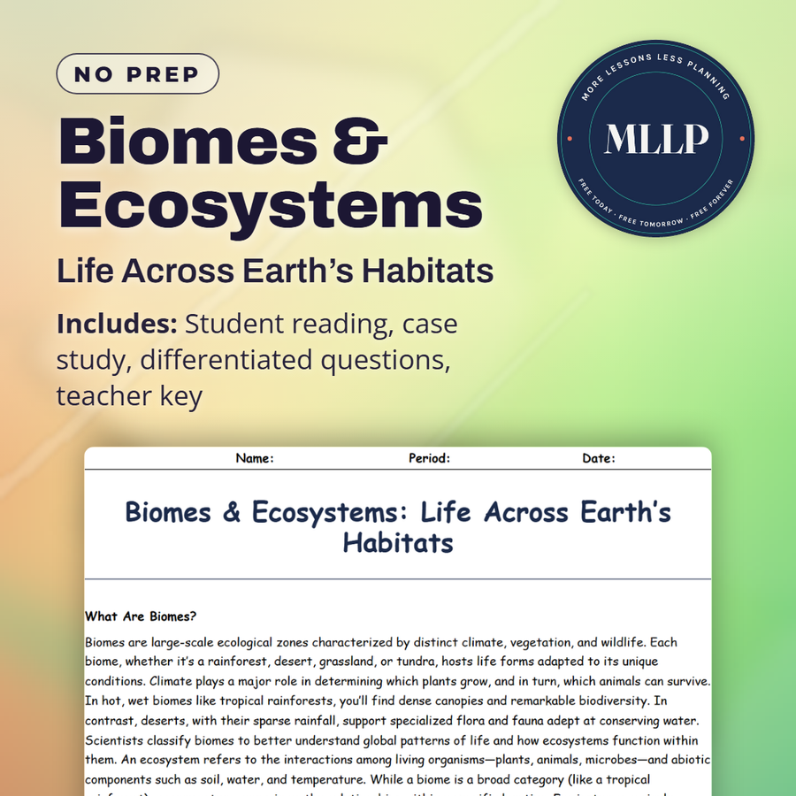
Biomes & Ecosystems: Life Across Earth’s Habitats
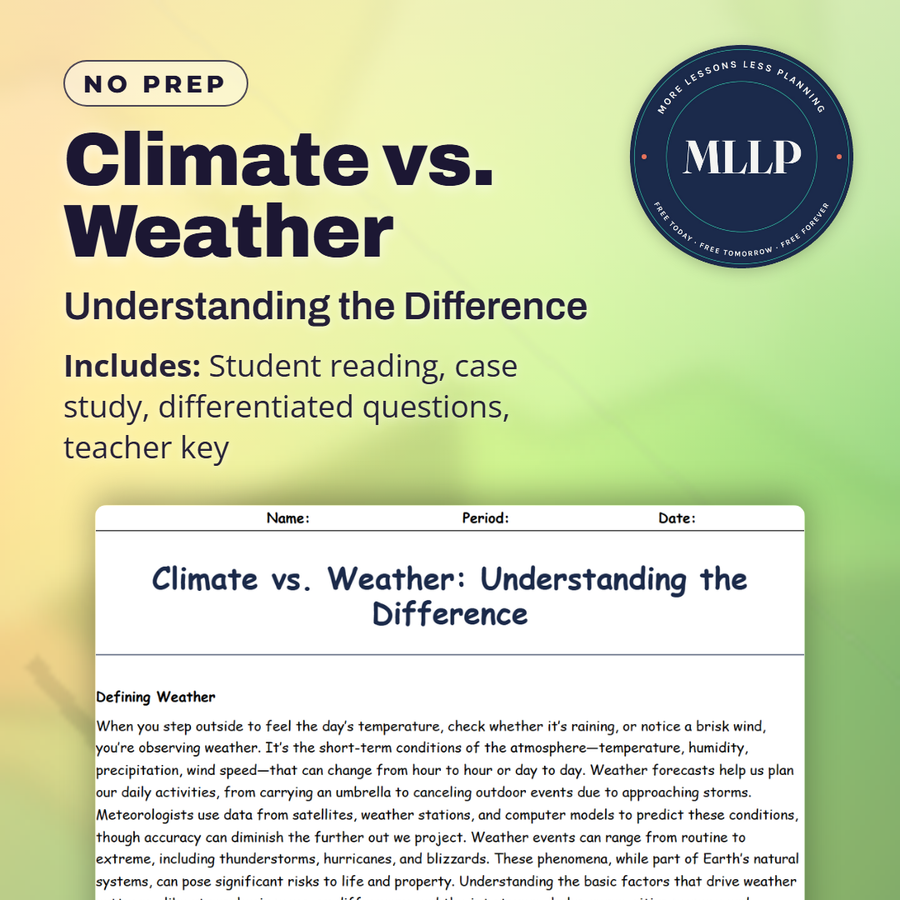
Climate vs. Weather: Understanding the Difference
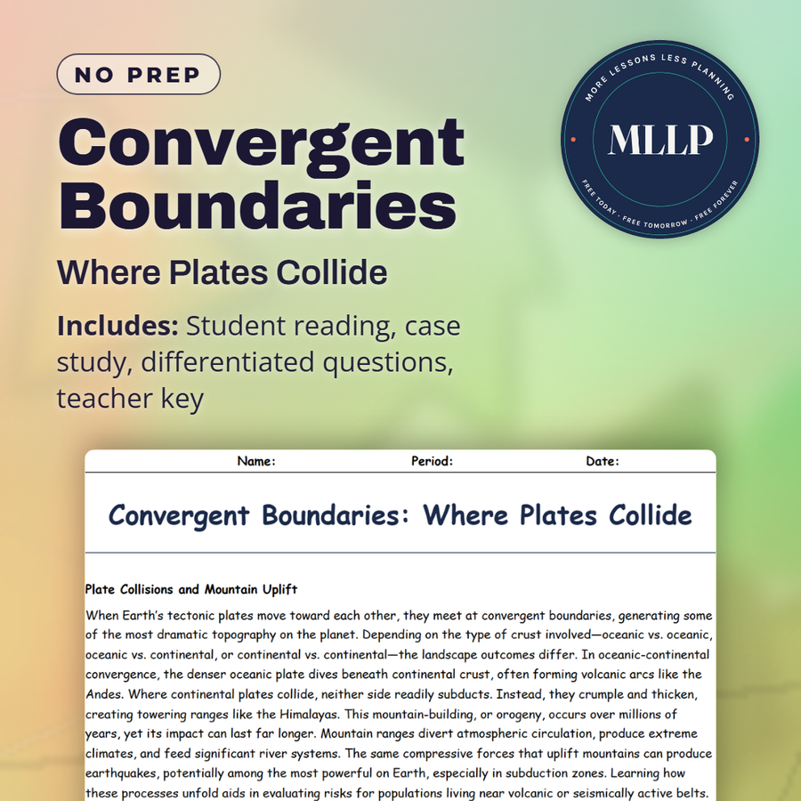
Convergent Boundaries: Where Plates Collide
Deserts: Survival in the Harshest Climates

Divergent Boundaries: Where Plates Pull Apart
Earth’s Layers: From Crust to Core
Every lesson on this site is free to download and use. If one of them saved you a prep period, you can chip in a few bucks toward my three kids' daycare fund. That's genuinely where tips go.