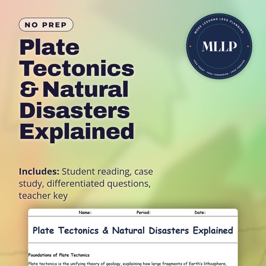
Plate Tectonics & Natural Disasters Explained
Quality reviewed September 2026
Facts verified September 14, 2026
- Subject
- Social Studies
- Grades
- Grades 9-12
- Length
- 7-page student worksheet
- Time
- About one 50-minute class period
- Great for
- Sub plans and independent work
- Includes
- Reading passage, comprehension questions + full answer key
- Format
- Print-and-go PDF
What students do
- Match terms like Ring of Fire, transform fault, and subduction to their correct definitions
- Fill in the blank sentences on subduction, magnetic stripes on the seafloor, and continental drift
- Answer multiple choice questions on what advanced the theory of plate tectonics, which boundary produces the strongest earthquakes and volcanic activity, and who first proposed continental drift
- Write short answers on why understanding plate boundaries matters for urban planning, how Wegener's ideas differed from earlier views, and why transform boundaries still cause major earthquakes
What it covers
- Divergent, convergent, and transform plate boundaries and the features each one produces, from the Mid-Atlantic Ridge to the San Andreas Fault
- Alfred Wegener's theory of continental drift and the seafloor spreading and paleomagnetic evidence that later confirmed plate tectonics
- A case study on the 2011 Tohoku earthquake and tsunami in Japan, covering subduction, tsunami risk, and disaster preparedness
Start reading this worksheet
Foundations of Plate Tectonics
Plate tectonics is the unifying theory of geology, explaining how large fragments of Earth’s lithosphere, known as tectonic plates, move and interact. This movement is powered by convection currents in the mantle, which slowly shift the plates in different directions: pulling them apart, pushing them together, or sliding them past one another. Early observations about how continents seemed to “fit together” laid the groundwork for this idea, but it wasn’t until Alfred Wegener proposed continental drift that scientists began to investigate the phenomenon in earnest. Wegener’s hypothesis was initially ridiculed due to a lack of mechanism explaining how entire continents could move. With advancements in oceanography and seismic technology, however, evidence amassed for seafloor spreading, subduction zones, and paleomagnetic reversals that clinched the concept of plate tectonics. The types of plate boundaries are divergent, convergent, and transform. Each generates distinct geological features. Divergent boundaries, such as the Mid-Atlantic Ridge, see plates pull apart, forming new oceanic crust from rising magma. Convergent boundaries, like the west coast of South America, involve one plate diving beneath another, often giving rise to volcanic arcs and powerful earthquakes. Transform boundaries, famously exemplified by the San Andreas Fault in California, occur where plates slide horizontally. Although these boundaries appear simple compared to mountain-building collisions, they can produce severe quakes, as pressure builds until it is violently released.
Linking Tectonics to Earthquakes and Volcanoes
Where plates interact, natural disasters often follow. Earthquakes occur when stress between plates builds and then suddenly releases, sending seismic waves through the crust. Regions near subduction zones or transform boundaries are especially vulnerable. In places like Japan or Indonesia, the tight interplay between continental and oceanic plates has led to some of the strongest recorded earthquakes in history, occasionally accompanied by devastating tsunamis triggered by undersea plate shifts. Volcanic eruptions are similarly tied to plate movement. Along convergent boundaries, descending plates melt and fuel magma chambers beneath the surface. When the pressure becomes too great, magma escapes through weaknesses in the crust. Not all volcanoes form at plate boundaries, though. Hotspots, such as Hawaii, are linked to mantle plumes that break through thinner areas of crust. Yet boundary-driven volcanism is responsible for much of the world’s dramatic activity, including the Ring of Fire, an arc of frequent eruptions around the Pacific.
Historical Context: Alfred Wegener’s Contribution
Before Wegener published his groundbreaking book “The Origin of Continents and Oceans” in 1915, most geologists believed the Earth’s continents were immovable. Wegener, a meteorologist by training, was intrigued by fossil correlations across South America and Africa, as well as the jigsaw-like fit of their coastlines. He hypothesized a supercontinent called Pangaea that eventually broke into drifting continents. Although he couldn’t fully explain the mechanism behind continental drift, he compiled evidence spanning geology, paleontology, and climatology. Over time, additional research proved him correct. Paleomagnetic data showed that rocks retain a record of Earth’s changing magnetic field, confirming that continents had shifted latitudes. Seafloor mapping during and after World War II revealed massive underwater mountain chains and symmetrical bands of magnetic “stripes,” evidence of new crust forming at mid-ocean ridges. By combining these findings, scientists formulated the modern theory of plate tectonics, validating Wegener’s once-controversial ideas.
Like what you read? The full reading, the case study, and every question set are in the free download below, along with the answer key.
Why this matters
Alfred Wegener proposed continental drift and the idea was dismissed, until seafloor spreading and paleomagnetic evidence caught up with what he had proposed. That history matters because it shows science correcting itself slowly, on a question that urban planning now depends on.
I use the 2011 Tohoku earthquake to make subduction feel urgent instead of theoretical. Students can already name the Ring of Fire and describe a transform fault, but the tsunami that followed Tohoku is what gets them asking about warning systems and preparedness instead of just boundary types.
From one teacher to another
This unit ties the theory of plate tectonics directly to the disasters it explains, so students see why subduction zones and transform faults matter beyond the vocabulary. I like that Wegener's story is included, since it shows how a well-supported idea got dismissed until seafloor spreading and paleomagnetic data caught up with it. The Tohoku case study gives a concrete disaster to analyze instead of an abstract hazard, which makes the short answer questions feel more grounded.
What you get
Download
Where should I send the next one?
Everything here is free and it stays that way. Leave your email and I'll send you the new lessons as they go up. You can unsubscribe from any one of them.
Related resources
Biomes & Ecosystems: Life Across Earth’s Habitats
Climate vs. Weather: Understanding the Difference
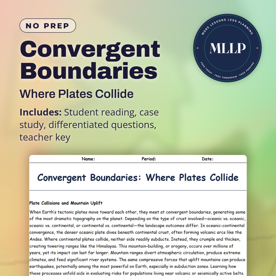
Convergent Boundaries: Where Plates Collide
Deserts: Survival in the Harshest Climates
Divergent Boundaries: Where Plates Pull Apart
Earth’s Layers: From Crust to Core
Every lesson on this site is free to download and use. If one of them saved you a prep period, you can chip in a few bucks toward my three kids' daycare fund. That's genuinely where tips go.