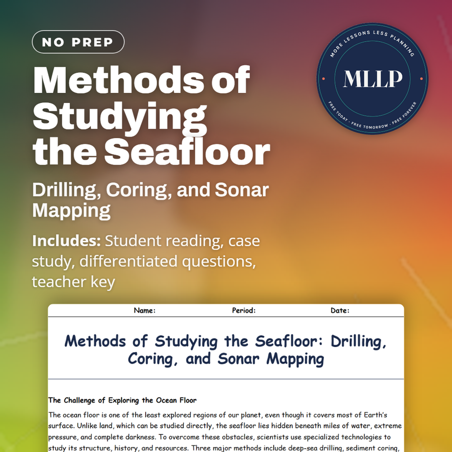
Methods of Studying the Seafloor: Drilling, Coring, and Sonar Mapping
Quality reviewed September 2026
Facts verified September 14, 2026
- Subject
- Science
- Grades
- Grades 9-12
- Length
- 6-page student worksheet
- Time
- About one 50-minute class period
- Great for
- Sub plans and independent work
- Includes
- Reading passage, comprehension questions + full answer key
- Format
- Print-and-go PDF
What students do
- Match terms like Drilling, Coring, Sonar mapping, Glomar Challenger, and Multibeam sonar to their correct definitions
- Fill in the blank sentences on the JOIDES Resolution, how sonar works, and what sediment cores show about climate history
- Answer multiple choice questions on what the Deep Sea Drilling Project confirmed, what a sediment core provides, and what technology creates 3D seafloor maps
- Write short answers on how sonar mapping changed views of the seafloor, why ocean drilling matters to Earth science, and what seafloor cores reveal about past ice ages, using the case study on the Deep Sea Drilling Project
What it covers
- Why the seafloor is hard to study directly and how scientists overcome that with specialized tools
- How deep-sea drilling and sediment coring recover physical samples of rock and sediment layers
- A case study on the Deep Sea Drilling Project and its evidence for seafloor spreading
Start reading this worksheet
The Challenge of Exploring the Ocean Floor
The ocean floor is one of the least explored regions of our planet, even though it covers most of Earth’s surface. Unlike land, which can be studied directly, the seafloor lies hidden beneath miles of water, extreme pressure, and complete darkness. To overcome these obstacles, scientists use specialized technologies to study its structure, history, and resources. Three major methods include deep-sea drilling, sediment coring, and sonar mapping. Together, these approaches allow researchers to reveal the secrets of plate tectonics, past climates, and marine resources. The development of these tools in the 20th century transformed marine geology. Before sonar, scientists thought the seafloor was mostly flat. Now, we know it contains ridges, trenches, and mountains as dramatic as any found on land. Seafloor studies have revealed evidence for theories such as continental drift and seafloor spreading, changing our understanding of Earth itself.
Drilling and Coring the Seafloor
One of the most direct ways to study the seafloor is by drilling into it. Large oceanographic ships, such as the JOIDES Resolution, can lower drilling equipment thousands of meters below the ocean surface to recover samples of rock and sediment. By studying these samples, scientists can learn about the composition and age of the crust, confirming processes such as plate tectonics. Coring is a related method in which long tubes are pushed into sediment to collect vertical samples called cores. These cores provide a timeline of sedimentation, much like tree rings record climate history on land. By analyzing sediment layers, researchers can reconstruct Earth’s past climates, volcanic eruptions, and even asteroid impacts.
Like what you read? The full reading, the case study, and every question set are in the free download below, along with the answer key.
Why this matters
No one has ever walked across most of the seafloor, so nearly everything known about it comes from evidence hauled up from above. A sediment core drilled by a ship like the Glomar Challenger, starting in 1968, works almost like a diary, with each layer recording what the ocean was doing when it settled.
This reading surprises students who picture seafloor research as a diver with a flashlight, when a drill bit and a sound wave actually did most of the work. Setting the Deep Sea Drilling Project's cores next to a modern sonar map gives students two very different tools for studying a place no one can simply look at.
From one teacher to another
The seafloor is one of the least explored parts of the planet, and this worksheet covers three tools researchers use to study it, deep-sea drilling, sediment coring, and sonar mapping. It explains how drilling ships pull up rock and sediment samples while sonar bounces sound waves off the ocean floor to map ridges and trenches. The case study on the Deep Sea Drilling Project shows how cores drilled from the Glomar Challenger, starting in 1968, provided key evidence for seafloor spreading.
What you get
Download
Where should I send the next one?
Everything here is free and it stays that way. Leave your email and I'll send you the new lessons as they go up. You can unsubscribe from any one of them.
Related resources
Continental Drift and Seafloor Spreading Made Simple
Continental Margins: Active vs. Passive Boundaries
Earth’s Layers and Plate Tectonics Explained
Geological Hazards: Tsunamis, Undersea Earthquakes, and Landslides
Hydrothermal Vents and Their Ecosystems
Marine Geology and Natural Resources
Every lesson on this site is free to download and use. If one of them saved you a prep period, you can chip in a few bucks toward my three kids' daycare fund. That's genuinely where tips go.