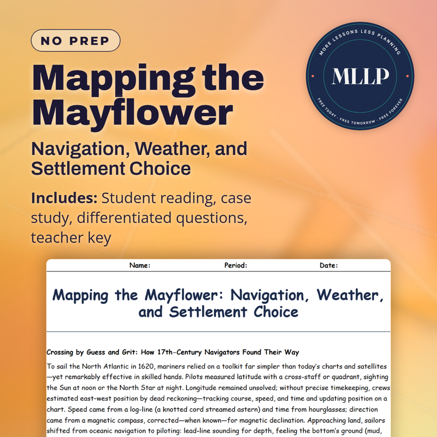
Mapping the Mayflower: Navigation, Weather, and Settlement Choice
Quality reviewed September 2026
Facts verified September 9, 2026
- Subject
- Social Studies
- Grades
- Grades 9-12
- Length
- 8-page student worksheet
- Time
- About one 50-minute class period
- Great for
- Sub plans and independent work
- Includes
- Reading passage, comprehension questions + full answer key
- Format
- Print-and-go PDF
What students do
- Identify navigation techniques (dead reckoning, lead-line sounding, compass work) and their limits
- Explain how nor'easters and the North Atlantic Gyre shaped the crossing and landfall
- Compare maritime safety (depth, shelter) against on-shore needs (freshwater, timber, soil)
- Trace how equipment damage and autumn weather forced settlement choice over original plan
What it covers
- Dead reckoning and piloting with hand instruments
- Atlantic wind patterns, currents, and seasonal storms
- Harbor selection criteria for ships and colonies
Start reading this worksheet
Crossing by Guess and Grit: How 17th-Century Navigators Found Their Way
To sail the North Atlantic in 1620, mariners relied on a toolkit far simpler than today’s charts and satellites, yet remarkably effective in skilled hands. Pilots measured latitude with a cross-staff or quadrant, sighting the Sun at noon or the North Star at night. Longitude remained unsolved; without precise timekeeping, crews estimated east-west position by dead reckoning: tracking course, speed, and time and updating position on a chart. Speed came from a log-line (a knotted cord streamed astern) and time from hourglasses; direction came from a magnetic compass, corrected (when known) for magnetic declination. Approaching land, sailors shifted from oceanic navigation to piloting: lead-line sounding for depth, feeling the bottom’s ground (mud, sand, shell) with tallow on the lead, and watching sea color, breakers, birds, and odor of land. In shoal-ridden regions like Cape Cod, the lead line and sharp eyes were the difference between a safe approach and a wreck on a lee shore. With no engines and limited maneuverability, sailing masters had to anticipate wind shifts, especially nor’easters, and maintain sea room until a secure harbor was identified. The Mayflower’s officers used the best practices of their age, knitting together instruments, seamanship, and constant observation to transform a featureless horizon into a mental map.
Winds, Currents, and the North Atlantic’s Personality
The Atlantic isn’t random; it has patterns. Mid-latitude prevailing westerlies blow from west to east, while the trade winds blow from east to west nearer the tropics. The clockwise North Atlantic Gyre and swift Gulf Stream shape temperature, weather, and drift. Eastbound crossings from England tended to arc south to catch reliable winds, then turn westward toward North America; returning ships often climbed north to ride the westerlies home. In autumn, temperate cyclones breed strong fronts and spawn coastal nor’easters that churn shallow shelves and pile seas onto headlands. This was hazardous for square-rigged ships that struggled to claw off a lee shore. The Mayflower, crossing late in the season, met gales that damaged spars and slowed progress, increasing exposure to cumulative risk: fatigue, leakage, spoiled provisions, and illness. Close to land, currents around Cape Cod and Nauset shoals warped the sea surface and pushed vessels toward bars and breakers. Masters read this “moving handwriting” to decide whether to press on, heave-to offshore, or seek shelter. Weather therefore didn’t just “happen” to voyagers; it structured their routes, timing, and choices of where to attempt landfall.
Like what you read? The full reading, the case study, and every question set are in the free download below, along with the answer key.
Why this matters
Why didn't the Mayflower land where it was supposed to? The charter named Virginia, not Massachusetts, and reaching the Hudson that late in the year, with a damaged shallop and a nor'easter building offshore, was not realistic. Depth readings from a lead line, and the mud or sand it came back with, told the crew more about survival than any map they carried.
The landing at Plymouth stops looking like a mistake once you walk through the soundings and the shortage of freshwater and timber the crew was weighing. It turns a story most students learned as a straight line into a string of narrow, forced choices.
From one teacher to another
This worksheet rewires students away from "the Pilgrims sailed to America" into a decision-making puzzle. The case study stages soundings (measurements of depth) off Cape Cod as the shallop, the ship's small boat, needs repairs and a nor'easter builds offshore. The crew plots depth, reads the tallow on the lead to learn the bottom (sand or mud), and scans for a sheltered inner harbor with freshwater. Meanwhile, the original charter named Virginia, but reaching the Hudson late in autumn with a split boat meant beating down a lee shore into north winds. Students weigh maritime physics (sounding depths, weather patterns) against on-shore evidence (cleared fields, sweet water, defensible hillside) and see why the council chose an inner harbor over the original plan. The answer key ties navigation instruments to risk as much as destination.
What you get
Download
Where should I send the next one?
Everything here is free and it stays that way. Leave your email and I'll send you the new lessons as they go up. You can unsubscribe from any one of them.
Related resources

Black Friday Forensics: Shoplifting, Organized Theft, and Crowd Violence
Black Friday Smart Shopper: Economics and Personal Finance in Action

Black Friday: Are the “Deals” Actually Good for Shoppers?

Black Friday’s Economic Impact: Who Gains, Who Pays, and What It Means for the Economy
Budget a Feast: Unit Prices, Deals, and Receipts
Colonial Foodways: Indigenous Knowledge and European Adaptation
Every lesson on this site is free to download and use. If one of them saved you a prep period, you can chip in a few bucks toward my three kids' daycare fund. That's genuinely where tips go.