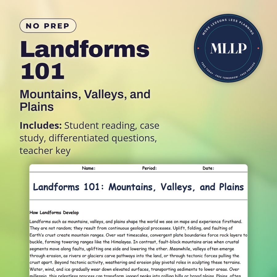
Landforms 101: Mountains, Valleys, and Plains
Quality reviewed September 2026
Facts verified September 14, 2026
- Subject
- Social Studies
- Grades
- Grades 9-12
- Length
- 8-page student worksheet
- Time
- About one 50-minute class period
- Great for
- Sub plans and independent work
- Includes
- Reading passage, comprehension questions + full answer key
- Format
- Print-and-go PDF
What students do
- Match terms like Folding, Glacial Erosion, Rift Zone, Sedimentation, and Faulting to their correct definitions
- Fill in the blank sentences on fold mountains, plains, and river erosion
- Answer multiple choice questions on how the Grand Canyon formed, how rift valleys develop, and which landform best supports large-scale agriculture
- Write short answers on how mountains affect local climate, the differences between fold and fault-block mountains, and why plains matter so much for human civilization
What it covers
- How mountains, valleys, and plains form through uplift, folding, faulting, and erosion, including fold mountains like the Himalayas and fault-block ranges like the Sierra Nevada
- Valleys shaped by river erosion, glacial carving, and tectonic rifting, from the Grand Canyon to the Great Rift Valley
- A case study on the Great Rift Valley in East Africa, its role in early human history, and the challenges facing communities who live there today
Start reading this worksheet
How Landforms Develop
Landforms such as mountains, valleys, and plains shape the world we see on maps and experience firsthand. They are not random; they result from continuous geological processes. Uplift, folding, and faulting of Earth’s crust create mountain ranges. Over vast timescales, convergent plate boundaries force rock layers to buckle, forming towering ranges like the Himalayas. In contrast, fault-block mountains arise when crustal segments move along faults, uplifting one side and lowering the other. Meanwhile, valleys often emerge through erosion, as rivers or glaciers carve pathways into the land, or through tectonic forces pulling the crust apart. Beyond tectonic activity, weathering and erosion play pivotal roles in sculpting these terrains. Water, wind, and ice gradually wear down elevated surfaces, transporting sediments to lower areas. Over millennia, this relentless process can transform jagged peaks into rolling hills or broad plains. Plains, often formed by layers of sediment deposited over time, become ideal for agriculture and human settlement because of their fertile soils and relatively flat terrain. By studying how landforms form and evolve, we gain insights into Earth’s past and learn how to better manage natural resources.
Mountains: Uplift and Types
Mountains aren’t just spectacular sights; they are also a record of the Earth’s powerful interior forces. Fold mountains like the Rockies or the Alps occur when tectonic plates converge, compressing and folding rock layers upward. These ranges can stand for millions of years, but they aren’t static. Even a towering peak gradually succumbs to erosion, shedding sediments that might eventually help form new rock in distant locations. Fault-block mountains, such as the Sierra Nevada in the United States, arise when stress fractures the crust, and one block is lifted relative to another. The resulting topography often features steep escarpments on one side and more gradual slopes on the other. Mountains significantly influence climate by forcing air masses to rise, cool, and release precipitation. This phenomenon, known as the rain shadow effect, can lead to lush vegetation on one side of a range and arid conditions on the other. In many parts of the world, mountain ranges serve as vital freshwater reserves, storing snow and ice that melt seasonally to feed rivers. From a cultural standpoint, mountains have shaped human history, providing natural barriers, influencing trade routes, and inspiring spiritual reverence. Even in modern times, mountainous areas can pose challenges for infrastructure development but also offer opportunities for tourism and renewable energy generation, such as hydropower.
Valleys: Shaped by Erosion and Tectonics
Valleys can vary from broad, flat-bottomed basins to narrow, steep-sided canyons. Processes such as river erosion are a major force, cutting through rock layers over thousands or millions of years to form winding valleys. The iconic Grand Canyon exemplifies the power of a persistent river at work, gradually exposing ancient rock strata. Glacial valleys, on the other hand, are often U-shaped, carved when massive ice sheets move across the land, smoothing and reshaping everything in their path. Once the glaciers retreat, they leave behind distinctive landscapes with fertile soils, lakes, and sometimes deep fjords if they cut below sea level. Tectonic activity can also create valleys. At rift zones, like the Great Rift Valley in Africa, the crust is stretched and thinned, causing large blocks of land to sink between parallel faults. These tectonic valleys can be quite extensive and are accompanied by volcanic activity in many cases. Valleys serve crucial ecological roles, often housing rivers, wetlands, and diverse flora and fauna. Historically, they’ve been attractive locations for human settlement due to access to water, fertile soil, and natural shelter from harsh weather. Cities situated in valley regions may, however, face flood risks and temperature inversions that trap air pollutants.
Like what you read? The full reading, the case study, and every question set are in the free download below, along with the answer key.
Why this matters
The Grand Canyon and the Great Rift Valley look nothing alike, yet one formed as a river cut down and the other as the ground pulled apart. The Himalayas formed from folding, while the Sierra Nevada grew from faulting instead.
Mountains look finished and ancient to most students, so the Rift Valley case study catches them off guard: it formed as the ground pulled apart, its rocks hold early hominid fossils, and people live there under real volcanic risk today.
From one teacher to another
This reading ties three major landform types together by focusing on the forces that build and wear them down: uplift and folding for mountains, erosion and rifting for valleys, and sedimentation for plains. The Great Rift Valley case study adds a nice connection to human history since it covers both early hominid fossils and the modern communities living with volcanic and seismic risk. The quick reference table works as a preview before students dig into the readings. This fits well alongside the plate tectonics worksheets in the same unit.
What you get
Download
Where should I send the next one?
Everything here is free and it stays that way. Leave your email and I'll send you the new lessons as they go up. You can unsubscribe from any one of them.
Related resources
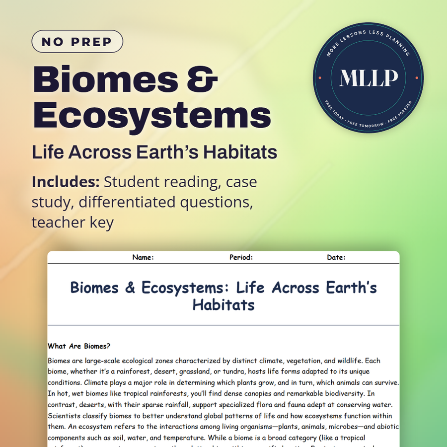
Biomes & Ecosystems: Life Across Earth’s Habitats
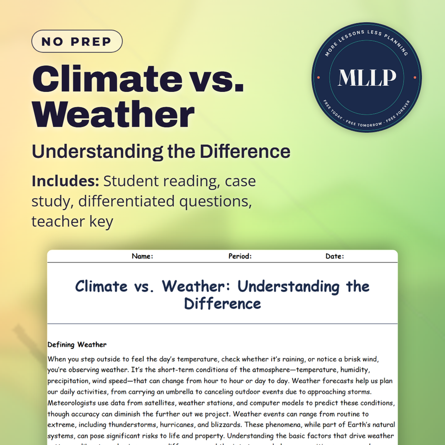
Climate vs. Weather: Understanding the Difference
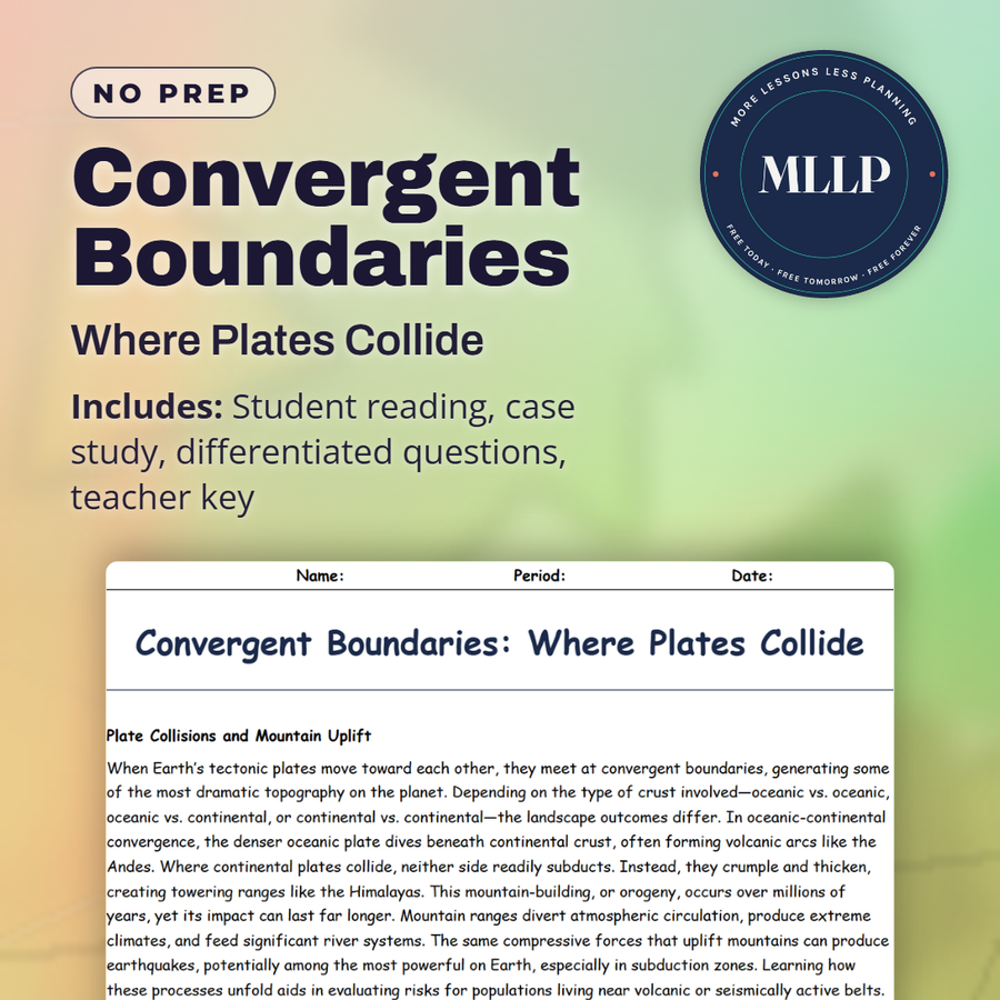
Convergent Boundaries: Where Plates Collide
Deserts: Survival in the Harshest Climates

Divergent Boundaries: Where Plates Pull Apart
Earth’s Layers: From Crust to Core
Every lesson on this site is free to download and use. If one of them saved you a prep period, you can chip in a few bucks toward my three kids' daycare fund. That's genuinely where tips go.