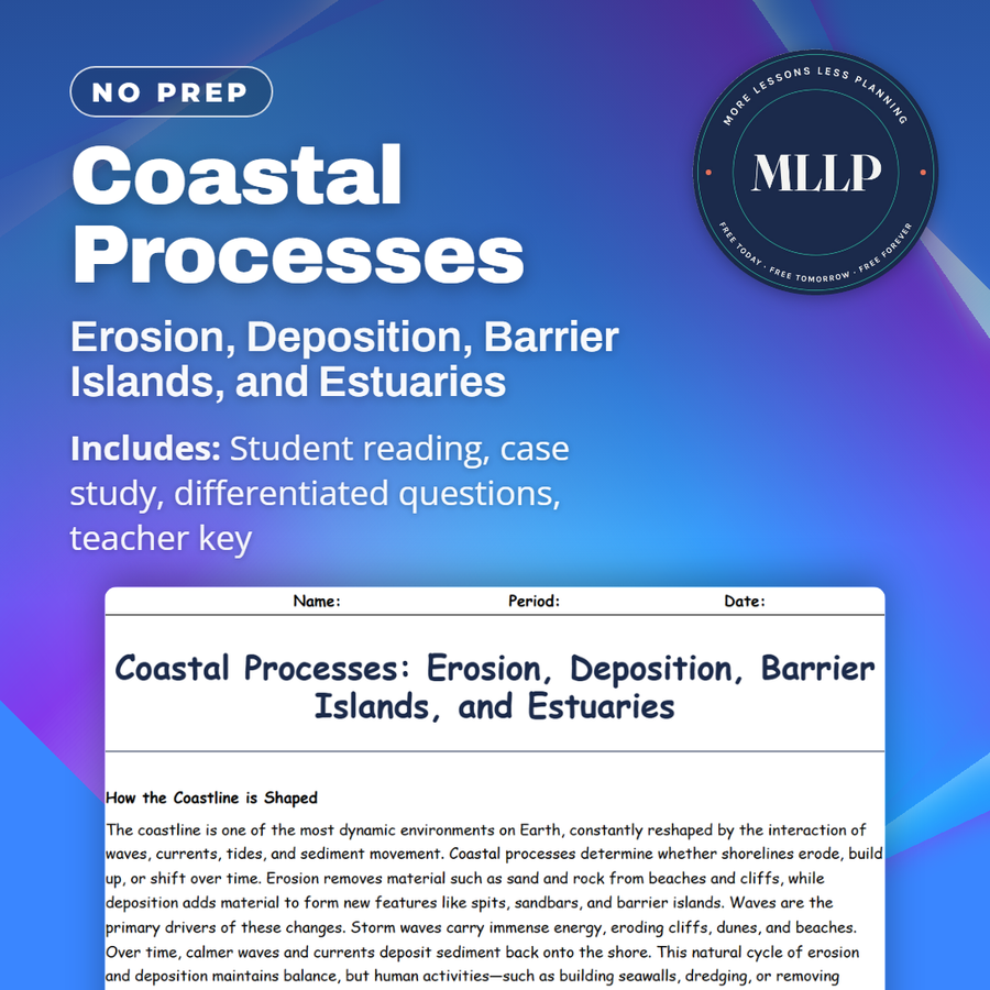
Coastal Processes: Erosion, Deposition, Barrier Islands, and Estuaries
Quality reviewed September 2026
Facts verified September 14, 2026
- Subject
- Science
- Grades
- Grades 9-12
- Length
- 6-page student worksheet
- Time
- About one 50-minute class period
- Great for
- Sub plans and independent work
- Includes
- Reading passage, comprehension questions + full answer key
- Format
- Print-and-go PDF
What students do
- Match terms like erosion, deposition, barrier islands, estuaries, and coastal management to their correct definitions
- Fill in the blank sentences on barrier islands, estuaries acting as natural filters, and coastal management structures
- Answer multiple choice questions on the function of barrier islands, what defines an estuary, and what disrupts natural erosion and deposition cycles
- Write short answers on how estuaries benefit humans and ecosystems, why barrier islands are risky to build on, and how to manage coastal erosion sustainably
What it covers
- How waves, currents, and tides shape coastlines through erosion and deposition
- How barrier islands and estuaries protect coastlines and support marine life
- A case study on the Outer Banks of North Carolina and the risks of building on shifting barrier islands
Start reading this worksheet
How the Coastline is Shaped
The coastline is one of the most dynamic environments on Earth, constantly reshaped by the interaction of waves, currents, tides, and sediment movement. Coastal processes determine whether shorelines erode, build up, or shift over time. Erosion removes material such as sand and rock from beaches and cliffs, while deposition adds material to form new features like spits, sandbars, and barrier islands. Waves are the primary drivers of these changes. Storm waves carry immense energy, eroding cliffs, dunes, and beaches. Over time, calmer waves and currents deposit sediment back onto the shore. This natural cycle of erosion and deposition maintains balance, but human activities—such as building seawalls, dredging, or removing vegetation—often disrupt it. Climate change adds new challenges, with rising sea levels and stronger storms accelerating erosion in vulnerable areas.
Barrier Islands and Their Importance
Barrier islands are long, narrow islands made mostly of sand that run parallel to coastlines. They form when waves and currents deposit sediment offshore, creating protective strips that absorb wave energy and shield the mainland from storms. The U.S. East and Gulf coasts are lined with barrier islands like the Outer Banks of North Carolina. Barrier islands are constantly shifting, moving landward or changing shape due to storms and sea-level rise. While they provide critical protection, they are fragile systems. Communities that build on barrier islands often face high risks, as storms can wash away infrastructure. Marine science research helps planners decide where development is safe and how natural processes can be preserved to maintain coastal protection.
Estuaries: Where Rivers Meet the Sea
An estuary is a semi-enclosed coastal area where freshwater from rivers mixes with saltwater from the ocean. Estuaries are among the most productive ecosystems on Earth, supporting fish nurseries, bird habitats, and diverse plant life. Nutrients delivered by rivers, combined with tidal mixing, create rich feeding grounds for many species. Estuaries also act as natural filters, trapping pollutants and sediments before they reach the open ocean. They protect inland areas by absorbing floodwaters and buffering storm surges. However, estuaries are also vulnerable to pollution, overfishing, and development. Marine scientists study estuaries to balance human needs with conservation, ensuring these ecosystems remain resilient.
Like what you read? The full reading, the case study, and every question set are in the free download below, along with the answer key.
Why this matters
A barrier island is not fixed land, it is a pile of sand that waves and storms keep rearranging, which makes building anything permanent on one a gamble. The Outer Banks show that cycle of erosion and deposition in action, while nearby estuaries mix river and ocean water into some of the richest habitat on the coast.
Hurricane Isabel cutting a new inlet through Hatteras Island is the moment that makes this real, showing a barrier island change shape during a single storm. After that case study, questions about sustainable coastal management stop feeling like policy and start feeling like a direct response to a real place.
From one teacher to another
Coastal erosion and deposition build and erase beaches, spits, and sandbars in a constant back-and-forth guided by waves and storms. Students read about barrier islands like the Outer Banks and how they absorb wave energy while shifting position over time, and about estuaries where river and ocean water mix to form some of the richest habitats on Earth. The case study on the Outer Banks looks at how Hurricane Isabel cut a new inlet through Hatteras Island, showing what happens when development meets a moving landscape.
What you get
Download
Where should I send the next one?
Everything here is free and it stays that way. Leave your email and I'll send you the new lessons as they go up. You can unsubscribe from any one of them.
Related resources
El Niño and La Niña: Ocean-Atmosphere Climate Connections
Ocean Tides: Gravitational Forces of the Moon and Sun
Properties of Seawater: Salinity, Temperature, and Density
Surface Currents and Wind Patterns: The Coriolis Effect and Gyres
The Role of Oceans in Weather and Climate Systems
Thermohaline Circulation and the Global Conveyor Belt
Every lesson on this site is free to download and use. If one of them saved you a prep period, you can chip in a few bucks toward my three kids' daycare fund. That's genuinely where tips go.