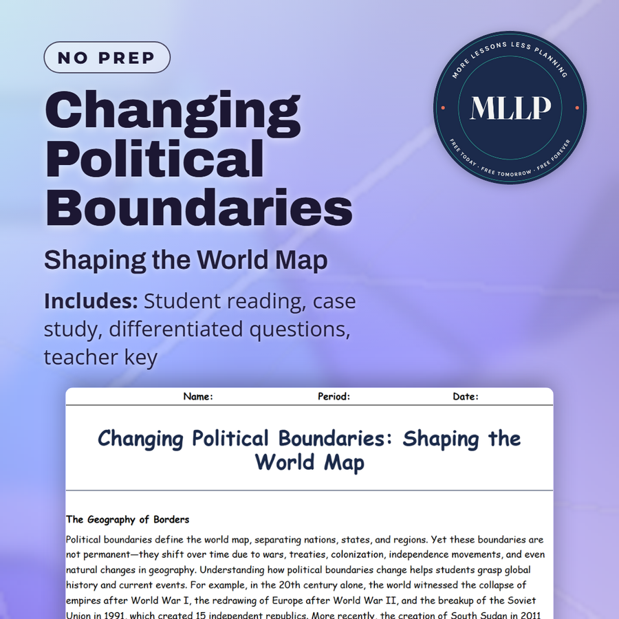
Changing Political Boundaries: Shaping the World Map
Quality reviewed September 2026
Facts verified September 14, 2026
- Subject
- Social Studies
- Grades
- Grades 9-12
- Length
- 6-page student worksheet
- Time
- About one 50-minute class period
- Great for
- Sub plans and independent work
- Includes
- Reading passage, comprehension questions + full answer key
- Format
- Print-and-go PDF
What students do
- Match terms like Partition of India, Collapse of USSR, and the Treaty of Versailles to what they created or changed
- Fill in the blank sentences on the Velvet Divorce, South Sudan's independence, and the year the Treaty of Versailles was signed
- Answer multiple choice questions on the newest nation formed in 2011, what the Treaty of Versailles redrew, and how the European Union eased border restrictions
- Write short answers on how boundaries create opportunities and challenges, why ethnic identity complicates border changes, and how climate change could spark future disputes
What it covers
- How political boundaries shift over time through war, treaties, colonization, and independence movements, from the Treaty of Versailles to the Soviet collapse
- The partition of India and the peaceful Velvet Divorce split of Czechoslovakia as contrasting ways new states form
- A case study on the breakup of Yugoslavia and how ethnic tension and nationalism turned shifting borders into violent conflict
Start reading this worksheet
The Geography of Borders
Political boundaries define the world map, separating nations, states, and regions. Yet these boundaries are not permanent. They shift over time due to wars, treaties, colonization, independence movements, and even natural changes in geography. Understanding how political boundaries change helps students grasp global history and current events. For example, in the 20th century alone, the world witnessed the collapse of empires after World War I, the redrawing of Europe after World War II, and the breakup of the Soviet Union in 1991, which created 15 independent republics. More recently, the creation of South Sudan in 2011 showed how ethnic conflict and independence movements continue to shape borders. Each shift brings new opportunities but also challenges, especially when disputes over territory arise. Geography plays a central role in these changes. Mountain ranges, rivers, and deserts often serve as natural borders, but when populations move or resources are discovered, these lines can be contested. Students learning about political geography begin to see maps as dynamic, living documents rather than fixed records.
Conflict and Redrawing Boundaries
Conflict has long been one of the main causes of boundary changes. Wars over land, identity, or resources often lead to new borders. For example, after World War I, a series of peace treaties dismantled the Austro-Hungarian and Ottoman Empires: Versailles with Germany, Saint-Germain-en-Laye and Trianon with Austria-Hungary, and Sèvres with the Ottoman Empire. They created new nations like Czechoslovakia and Yugoslavia. Yet these borders did not always reflect cultural realities, often forcing different ethnic groups into one state or splitting them apart, leading to future conflict. Another example is the partition of India in 1947, when British India was divided into India and Pakistan. This event triggered one of the largest human migrations in history, with millions of Hindus, Muslims, and Sikhs crossing new borders. It also sparked violence and left lasting tensions that continue today. Political boundaries are not just lines on maps. They profoundly affect where people live, how they identify, and how nations interact.
New States and Globalization
Not all boundary changes are violent. Sometimes, independence comes through negotiation. The peaceful split of Czechoslovakia in 1993 into the Czech Republic and Slovakia (known as the “Velvet Divorce”) demonstrates how cooperation and diplomacy can redraw borders without bloodshed. Similarly, decolonization after World War II saw dozens of African and Asian nations gain independence through both negotiation and struggle. In a globalized world today, boundaries are also becoming less rigid in some respects. The European Union (EU) allows free movement across member states, while trade agreements like the USMCA connect economies despite borders. At the same time, debates over immigration, refugees, and nationalism reveal how boundaries still matter deeply. Globalization both blurs and reinforces the significance of borders, making them a central topic in geography.
Like what you read? The full reading, the case study, and every question set are in the free download below, along with the answer key.
Why this matters
South Sudan became the world's newest nation in 2011, proof that the map students grew up with is not a finished product. Setting that alongside the Treaty of Versailles and the collapse of the USSR shows how often borders have actually moved, usually through war or treaty rather than the peaceful process students tend to assume.
The contrast that lands hardest is the Velvet Divorce against the partition of India, one split handled without violence and the other marked by it. I use Yugoslavia's breakup right after that comparison, since it forces students to explain why ethnic tension turns some border changes violent and leaves others calm, instead of just naming the events.
From one teacher to another
This one has students trace how borders actually move, from the Treaty of Versailles redrawing Europe to South Sudan becoming Africa's newest country in 2011. The key info table lays out five major boundary changes side by side, so students can compare a peaceful split like the Velvet Divorce against a violent one like the partition of India. The case study on Yugoslavia's breakup ties ethnic identity directly to conflict over borders. This pairs well with a unit on political geography or twentieth century world history.
What you get
Download
Where should I send the next one?
Everything here is free and it stays that way. Leave your email and I'll send you the new lessons as they go up. You can unsubscribe from any one of them.
Related resources
Climate Change Impacts and Adaptation: Facing a Warming World
Disease and Global Health: Geography of Epidemics and Recovery
Globalization and Interdependence: How the World is Connected
International Cooperation and Sustainability: Working Together for a Better Future
Migration Crises: Movement in a Changing World
Resource Scarcity and Conflict: Struggles Over Earth’s Essentials
Every lesson on this site is free to download and use. If one of them saved you a prep period, you can chip in a few bucks toward my three kids' daycare fund. That's genuinely where tips go.