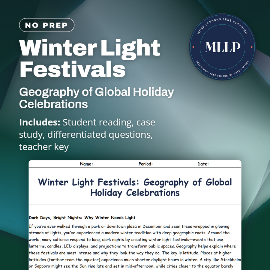
Winter Light Festivals: Geography of Global Holiday Celebrations
Quality reviewed September 2026
Facts verified September 9, 2026
- Subject
- Social Studies
- Grades
- Grades 9-12
- Length
- 8-page student worksheet
- Time
- About one 50-minute class period
- Great for
- Sub plans and independent work
- Includes
- Reading passage, comprehension questions + full answer key
- Format
- Print-and-go PDF
What students do
- Explain how latitude and Earth's axial tilt influence day length and light displays
- Compare light festival strategies in cold versus mild climates using location data
- Analyze why cities place light displays near transit hubs and businesses
- Evaluate the trade-offs between tourism benefits and energy consumption
What it covers
- Latitude and seasonal day length
- Cultural landscapes shaped by climate and economics
- Tourism strategy and urban geography
Start reading this worksheet
Dark Days, Bright Nights: Why Winter Needs Light
If you’ve ever walked through a park or downtown plaza in December and seen trees wrapped in glowing strands of lights, you’ve experienced a modern winter tradition with deep geographic roots. Around the world, many cultures respond to long, dark nights by creating winter light festivals: events that use lanterns, candles, LED displays, and projections to transform public spaces. Geography helps explain where these festivals are most intense and why they look the way they do. The key is latitude. Places at higher latitudes (farther from the equator) experience much shorter daylight hours in winter. A city like Stockholm or Sapporo might see the Sun rise late and set in mid-afternoon, while cities closer to the equator barely notice a change in day length at all. This difference comes from Earth’s axial tilt, which causes the Northern Hemisphere to lean away from the Sun in December and January. Less direct sunlight means cooler temperatures and longer nights: perfect conditions for both gloomy moods and dramatic light displays. Physical geography shapes how these festivals feel. In colder climates, lights reflect off snow, making streets and plazas sparkle and amplifying the brightness. In milder or coastal climates, lights may be hung along harbors, canals, or palm-lined streets instead. In all of these places, however, winter lights do more than decorate. They create a sense of warmth and safety in the dark. Many cities consciously use light festivals to draw people outdoors, boost local businesses, and fight the “winter slump” that comes with short days. Geography, climate, and human psychology all intersect every time a town decides to turn on millions of tiny bulbs.
Maps, Markets, and Monuments: Where Light Festivals Happen
Winter light festivals rarely appear in random spots. Urban planners, tourism departments, and event organizers think carefully about location. They want routes that are easy to reach by public transport, streets where people already like to walk, and landmarks that can be highlighted. In many European cities, historic old towns and Christmas markets become the core of light displays. Narrow streets, stone buildings, and central squares create a dramatic backdrop when illuminated. In Japan, winter illumination events turn parks, shopping districts, and even botanical gardens into glowing landscapes. In North America and parts of Europe, zoos and botanical gardens often run “lights nights” to bring visitors during months when animals or plants are less active. In warmer parts of Asia, Diwali and other festivals of light may occur earlier in the fall, but cities still decorate waterfronts, temples, and busy streets with strings of lights and lanterns. Geography matters here too: cities with scenic rivers, canals, or hills take advantage of reflection and elevation to make displays look more impressive. Light festivals also reflect local culture and history. A city with a strong Christmas tradition might feature nativity scenes and decorated fir trees, while another with a Buddhist or Shinto background might focus on lanterns, temples, or stylized nature scenes. Some events are explicitly religious; others are more commercial, designed to encourage shopping and tourism. From a geography standpoint, these festivals are examples of cultural landscapes: places where human beliefs and economic goals are layered on top of physical landforms and climate. Here is a simplified snapshot of how different places use light in winter: This table shows a pattern: places with colder, darker winters often lean heavily into festivals that brighten central plazas and snowy parks, while warmer or tropical cities create light displays mainly in commercial districts to attract shoppers and tourists.
Like what you read? The full reading, the case study, and every question set are in the free download below, along with the answer key.
Why this matters
Amina's assignment is to map a downtown light festival route and explain why organizers picked each stop. The pattern is not random: the lights cluster near bus stops, storefronts, and whatever landmark the city most wants a visitor to notice.
Latitude and axial tilt come first, well before Amina opens a map, since a northern city planning a December display has far more darkness to fill than a mild climate does. Students can point a phone camera at whatever display goes up in their own town and ask the same question she did.
From one teacher to another
Amina's assignment in the case study is to map a downtown light festival route and explain why organizers chose each location. She finds that the displays cluster near bus stops, shops, and the landmarks the city wants visitors to notice, which turns a pretty tradition into a lesson in urban geography. The reading starts with latitude and axial tilt, so students understand why a December festival in a northern city has hours of darkness to work with and a mild-climate city plans differently. I use it in my geography class because students can test the same questions on any holiday display they see that month.
What you get
Download
Where should I send the next one?
Everything here is free and it stays that way. Leave your email and I'll send you the new lessons as they go up. You can unsubscribe from any one of them.
Related resources
Biology of Evergreen Plants: The Science Behind Christmas Trees
Body Clocks and Midnight Countdowns: Circadian Rhythms at New Year’s
Calendars, Orbits, and the Science of New Year’s Day
Christmas on the Home Front: WWII Rationing and Resilience
Colorful Chemistry: Holiday Lights, Fireworks, and the Science of Glow
Crowded Skies: Holiday Air Travel and the Environment
Every lesson on this site is free to download and use. If one of them saved you a prep period, you can chip in a few bucks toward my three kids' daycare fund. That's genuinely where tips go.