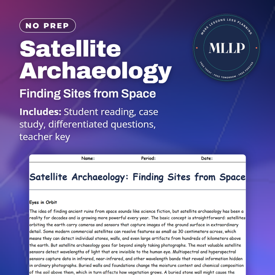
Satellite Archaeology: Finding Sites from Space
Quality reviewed September 2026
Facts verified September 21, 2026
- Subject
- Social Studies
- Grades
- Grades 9-12
- Length
- 9-page student worksheet
- Time
- About one 50-minute class period
- Great for
- Sub plans and independent work
- Includes
- Reading passage, comprehension questions + full answer key
- Format
- Print-and-go PDF
What students do
- Infrared satellite images reveal buried walls by how they change the color and height of grass growing above them
- Write short answers on Sarah Parcak's Egypt survey and the GlobalXplorer citizen-science project
- Three multiple-choice questions cover multispectral sensors and the organized looting pits found at Apamea
- Explain why an analyst in the case study can document looting at Tell Hamid but not stop it
What it covers
- Multispectral satellite imagery and how it reveals buried structures
- Sarah Parcak's GlobalXplorer citizen-science platform
- Satellite monitoring of looting in Egypt, Syria, and Iraq
Start reading this worksheet
Eyes in Orbit
The idea of finding ancient ruins from space sounds like science fiction, but satellite archaeology has been a reality for decades and is growing more powerful every year. The basic concept is straightforward: satellites orbiting the earth carry cameras and sensors that capture images of the ground surface in extraordinary detail. Some modern commercial satellites can resolve features as small as 30 centimeters across, which means they can detect individual stones, walls, and even large artifacts from hundreds of kilometers above the earth. But satellite archaeology goes far beyond simply taking photographs. The most valuable satellite sensors detect wavelengths of light that are invisible to the human eye. Multispectral and hyperspectral sensors capture data in infrared, near-infrared, and other wavelength bands that reveal information hidden in ordinary photographs. Buried walls and foundations change the moisture content and chemical composition of the soil above them, which in turn affects how vegetation grows. A buried stone wall might cause the grass above it to be slightly shorter or a different shade of green because the roots cannot penetrate as deeply. In infrared imagery, these subtle differences become obvious, revealing the outlines of structures that are completely invisible to someone standing on the surface. Thermal imaging from satellites can also detect buried features. Stone walls and foundations heat up and cool down at different rates than surrounding soil, creating temperature differences that show up in thermal imagery taken at certain times of day. Even filled-in ditches and moats can be detected because the soil that fills them retains moisture differently than undisturbed ground. These thermal and moisture signatures allow archaeologists to essentially see through the earth from space, detecting the ghostly outlines of buildings, roads, and field systems that disappeared from the surface centuries or millennia ago.
Sarah Parcak: The Space Archaeologist
No one has done more to popularize and advance satellite archaeology than Dr. Sarah Parcak, a professor at the University of Alabama at Birmingham. Parcak has used satellite imagery to identify thousands of potential archaeological sites across Egypt, including what may be seventeen previously unknown pyramids, over a thousand lost tombs, and more than three thousand ancient settlements. Her work demonstrated that even in a country as thoroughly explored as Egypt, satellite technology could reveal vast amounts of undiscovered archaeology. In 2016, Parcak won the prestigious TED Prize, which came with one million dollars and a platform to make a wish to change the world. Her wish was to create a citizen science platform called GlobalXplorer that would allow ordinary people to help analyze satellite imagery for signs of archaeological sites and looting. The platform works by showing volunteers small tiles of satellite imagery and asking them to identify features like geometric shapes, unusual soil marks, or evidence of illegal digging. By crowdsourcing the analysis, Parcak hoped to multiply the number of eyes scanning satellite data for hidden sites. Parcak's work has also highlighted the darker side of satellite archaeology: its use in monitoring the destruction of cultural heritage. In conflict zones and politically unstable regions, looting of archaeological sites often increases dramatically as law enforcement collapses and economic desperation drives people to dig for sellable artifacts. Satellite imagery can detect looting in near-real-time by comparing images taken at different dates and looking for new pits, disturbed soil, and vehicle tracks at known archaeological sites.
Watching Looting in Real Time
The ability to monitor archaeological sites from space has become a critical tool for heritage protection, particularly in regions experiencing conflict. During and after the political upheaval in Egypt beginning in 2011, satellite imagery revealed a dramatic increase in looting at archaeological sites across the country. Researchers compared images taken before and after the unrest and documented thousands of new looting pits at sites that had been relatively undisturbed for years. The situation was even more devastating in Syria and Iraq, where the civil war in Syria and the rise of the Islamic State created conditions of total lawlessness at some of the world's most important archaeological sites. Satellite monitoring showed systematic looting at sites like Apamea in Syria, where images revealed thousands of pits dug in an organized grid pattern, suggesting large-scale, coordinated theft rather than opportunistic digging. At Dura-Europos, another Syrian site, satellite images showed the site being progressively destroyed over months. The Islamic State took the destruction further by deliberately bulldozing and detonating ancient monuments as part of a campaign against what they considered idolatrous representations of the pre-Islamic past. Satellite imagery documented the destruction of Nimrud and Hatra in Iraq and Palmyra in Syria, providing evidence that has been used in international efforts to hold individuals accountable for cultural heritage crimes. The images also helped heritage organizations prioritize which sites were most at risk and allocate limited protection resources. Despite the power of satellite monitoring, there is a frustrating gap between seeing destruction and being able to stop it. Satellite imagery can document looting and demolition in near-real-time, but turning that information into effective action on the ground requires functioning governments, law enforcement, and political will, all of which may be absent in conflict zones. The result is that archaeologists and heritage professionals sometimes find themselves watching irreplaceable sites being destroyed in high-resolution imagery with no ability to intervene.
Like what you read? The full reading, the case study, and every question set are in the free download below, along with the answer key.
Why this matters
Priya's line in the case study, that she can see everything and do nothing, names a frustration that shows up anywhere remote monitoring outpaces the ability to act on what it finds, whether that is satellite images of looting or wildfire cameras watching a blaze spread faster than crews can respond. The reading's account of looting spiking in Egypt, Syria, and Iraq during periods of political collapse also connects to a pattern worth naming directly: when governments lose the ability to protect anything, cultural sites are often among the first things lost, not because anyone forgets they matter but because there is no one left to guard them. GlobalXplorer is the reading's answer to at least part of the problem, turning ordinary people with internet access into extra eyes on data that professional archaeologists could never review alone.
From one teacher to another
A buried wall changes how the soil above it holds water, which changes how the grass grows, which shows up as a faint stripe of color in infrared satellite imagery, and that quiet chain of cause and effect is how satellite archaeology finds sites without anyone setting foot on the ground. Sarah Parcak has used that method across Egypt to flag thousands of leads, including what may be seventeen unknown pyramids, and her TED Prize money built GlobalXplorer, a platform where volunteers scan satellite tiles for shapes and soil marks that could mark a site or a looting pit. The reading turns darker in its second half, describing how satellite images caught an organized grid of looting pits at Apamea in Syria and documented the deliberate destruction of Nimrud, Hatra, and Palmyra during recent conflicts. It is also honest about limits: clouds block optical sensors, high-resolution imagery is expensive, and some governments restrict access to it entirely. In the case study, analyst Priya Sharma watches six months of looting spread across an ancient city called Tell Hamid and has to explain to her supervisor that seeing the destruction and stopping it are two very different things.
What you get
Download
Where should I send the next one?
Everything here is free and it stays that way. Leave your email and I'll send you the new lessons as they go up. You can unsubscribe from any one of them.
Related resources
3D Scanning and Virtual Archaeology

Beyond Carbon: Other Ways to Date the Past
Dating and Detection: The Science Behind Archaeology
GIS and Digital Mapping: Archaeology Meets Big Data
Ground-Penetrating Radar: X-Ray Vision for Dirt

LiDAR: Seeing Through the Jungle from the Sky
Every lesson on this site is free to download and use. If one of them saved you a prep period, you can chip in a few bucks toward my three kids' daycare fund. That's genuinely where tips go.