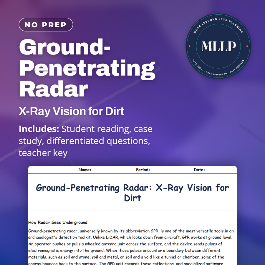
Ground-Penetrating Radar: X-Ray Vision for Dirt
Quality reviewed September 2026
Facts verified September 21, 2026
- Subject
- Social Studies
- Grades
- Grades 9-12
- Length
- 9-page student worksheet
- Time
- About one 50-minute class period
- Great for
- Sub plans and independent work
- Includes
- Reading passage, comprehension questions + full answer key
- Format
- Print-and-go PDF
What students do
- GPR's electromagnetic pulses get compared to how medical ultrasound reads the human body
- Sort five terms, including anomaly and radargram, into their correct definitions
- Three short-answer questions weigh why wet clay limits GPR and why expert reading of a radargram matters
- Describe why the Anishinaabe council in the case study chooses a memorial over excavation
What it covers
- How ground-penetrating radar detects buried walls and voids
- GPR at Stonehenge, Rome, and Pompeii
- The Kamloops residential school search and a community's choice not to excavate
Start reading this worksheet
How Radar Sees Underground
Ground-penetrating radar, universally known by its abbreviation GPR, is one of the most versatile tools in an archaeologist's detection toolkit. Unlike LiDAR, which looks down from aircraft, GPR works at ground level. An operator pushes or pulls a wheeled antenna unit across the surface, and the device sends pulses of electromagnetic energy into the ground. When those pulses encounter a boundary between different materials, such as soil and stone, soil and metal, or soil and a void like a tunnel or chamber, some of the energy bounces back to the surface. The GPR unit records these reflections, and specialized software converts them into images that show what lies beneath the surface. The principle is similar to medical ultrasound, except that GPR uses radio waves instead of sound waves. Just as an ultrasound creates an image of structures inside the human body, GPR creates an image of structures inside the earth. The depth of penetration depends on the frequency of the radar signal and the properties of the soil. Lower frequencies penetrate deeper but produce less detail, while higher frequencies provide sharper images but reach only shallow depths. In ideal conditions, such as dry sandy soil, GPR can detect features several meters below the surface. In wet clay, which absorbs radar energy, the effective depth might be less than a meter. GPR produces what are called radargrams, two-dimensional slices showing the subsurface along the path the antenna traveled. By conducting a series of parallel passes across a site, archaeologists can build up a three-dimensional picture of buried features. Modern GPR systems can be attached to vehicles or even small robots, allowing rapid survey of large areas. The data can then be processed into horizontal time-slices that show features at different depths, essentially creating floor plans of buried structures layer by layer.
Mapping the Invisible
GPR has been used to investigate some of the most famous archaeological sites in the world. At Stonehenge in England, GPR surveys have revealed a network of buried pits, ditches, and what appear to be the foundations of timber structures surrounding the stone circle. These hidden features suggest that the monument we see today was part of a much larger ceremonial landscape that extended far beyond the visible stones. In Rome, GPR has been used to map buried sections of ancient buildings without disturbing the modern city above. The technology has located aqueducts, roads, and entire building complexes beneath the streets and piazzas of the modern capital. At Pompeii, GPR has identified rooms and structures that have not yet been excavated, helping archaeologists plan future digs and prioritize which areas to investigate first. One of GPR's most powerful applications is in cemetery and burial archaeology. The technology can detect individual graves, burial vaults, and even the outlines of coffins without disturbing the dead. This is invaluable for managing historic cemeteries where headstones have been lost or moved, and it has been used to locate burials at sites ranging from Colonial American churchyards to medieval European plague pits. GPR can distinguish between disturbed and undisturbed soil, which helps identify where graves have been dug and refilled, even centuries after the burials took place.
Searching for Unmarked Graves
Perhaps the most emotionally charged application of GPR in recent years has been the search for unmarked graves at former residential schools in Canada and similar institutions around the world. In 2021, the Tk'emlups te Secwepemc First Nation announced that GPR had detected soil anomalies consistent with approximately 215 unmarked burials at the site of the former Kamloops Indian Residential School in British Columbia. The announcement sent shockwaves across Canada and the world, reigniting urgent conversations about the legacy of residential schools and the treatment of Indigenous children. GPR cannot technically confirm the presence of human remains without excavation. What it detects are anomalies in the subsurface, patterns of disturbed soil, voids, and density changes that are consistent with burials. The distinction matters because some anomalies can be caused by tree roots, old infrastructure, or natural soil variations. However, when GPR anomalies are found at a site with documented historical evidence of deaths and burials, and when the anomalies match the size, spacing, and pattern expected of graves, the evidence is considered compelling. The use of GPR at residential school sites has raised important questions about how the technology is deployed and who controls the results. Indigenous communities have generally insisted on leading or co-leading the investigations, controlling the pace of the work, and deciding what information is made public. In many cases, communities have chosen not to excavate, preferring to honor the dead by leaving them undisturbed while using GPR data to document what happened. This represents a powerful example of how archaeological technology can serve justice and healing rather than purely academic research. Similar searches have been conducted at historical institutions in the United States, Ireland, Australia, and other countries with histories of forced institutional care. In each case, GPR has provided a non-invasive way to investigate sensitive sites without the physical and emotional trauma of excavation, giving communities the information they need to make their own decisions about how to proceed.
Like what you read? The full reading, the case study, and every question set are in the free download below, along with the answer key.
Why this matters
The reading spends real time on who controls a GPR investigation, not simply how the technology works, because the search for unmarked graves at former residential schools has put that question in the news across Canada and beyond. Indigenous communities affected by these searches have generally insisted on leading the work themselves and deciding whether to excavate at all, and the case study shows a council choosing a memorial over disturbing the ground further. That is a useful example for students of how the same scientific tool can serve very different goals: in one context GPR settles an academic debate about a temple's footprint, and in another it gives a community the truth about family members who never came home, on their own terms.
From one teacher to another
Ground-penetrating radar works like medical ultrasound but underground: an antenna sends radio pulses into the soil and records what bounces back when the signal hits a wall, a void, or a grave. At Stonehenge, GPR found buried pits and timber foundations that extend the monument's footprint well past the visible stones, and at Pompeii it has mapped rooms archaeologists have not yet excavated. The reading is honest about what GPR cannot do: it detects anomalies, patterns of disturbed soil, not confirmed human remains, so identifying an actual grave still takes expert interpretation and often historical records. That distinction mattered in 2021, when GPR detected anomalies consistent with roughly 215 unmarked burials at the former Kamloops Indian Residential School in British Columbia. The case study follows a similar search led by an Anishinaabe community, where the council chooses to mark the fourteen suspected grave sites as sacred ground rather than excavate them.
What you get
Download
Where should I send the next one?
Everything here is free and it stays that way. Leave your email and I'll send you the new lessons as they go up. You can unsubscribe from any one of them.
Related resources
3D Scanning and Virtual Archaeology
Beyond Carbon: Other Ways to Date the Past
Dating and Detection: The Science Behind Archaeology
GIS and Digital Mapping: Archaeology Meets Big Data
LiDAR: Seeing Through the Jungle from the Sky
Pottery Analysis: Why Broken Pots Are an Archaeologist's Best Friend
Every lesson on this site is free to download and use. If one of them saved you a prep period, you can chip in a few bucks toward my three kids' daycare fund. That's genuinely where tips go.