Regions of the United States
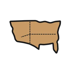
U.S. regions clip art pairing maps with state borders, landmarks, natural features, products, and regional clues.
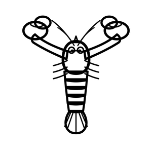
A region is more than a colored section on a map. I use a USA outline and state-border diagram alongside a lighthouse, lobster, maple syrup, peach, magnolia, alligator swamp, corn, barn, wheat, cactus, cowboy boots, adobe house, redwood, surfboard, bridge, glacier, moose, hibiscus, volcano, the Capitol, Mississippi River, Rocky Mountains, and two young map readers. Those details give each region a concrete starting point.
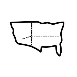
The set fits grades 3 through 5 units on U.S. geography, regions, resources, and human-environment connections. I use the cards for a regional evidence sort: groups choose images, place them near a map area, and explain which clue supports their decision. We also discuss why one image can't represent every person who lives there. Color art makes a strong study wall or projected review. Blackline art is useful for state-map annotation, vocabulary pages, and a foldable comparing climate, landforms, work, and culture across regions.
What's inside