Continents and Oceans
Geography clip art for naming continents and oceans while connecting maps, animals, landmarks, and physical regions.
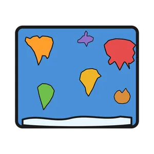
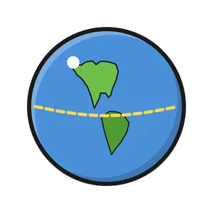
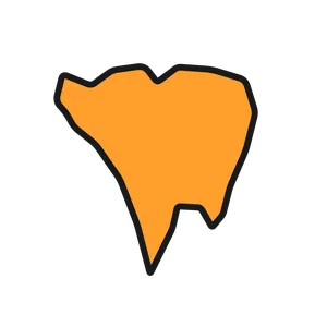
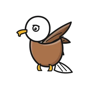
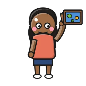
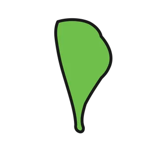
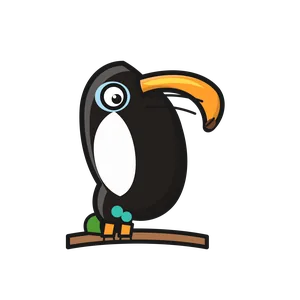
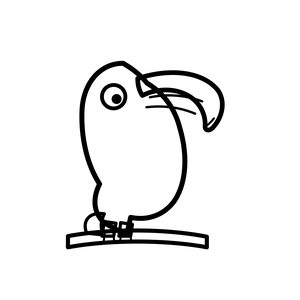
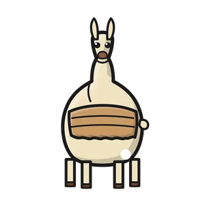
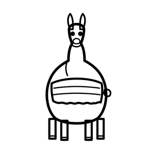
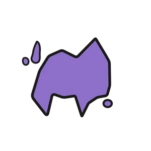
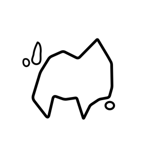
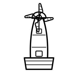
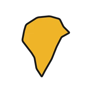
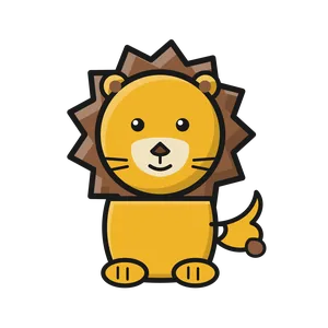
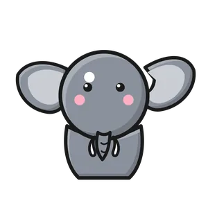
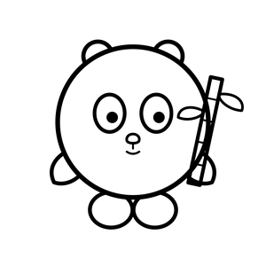
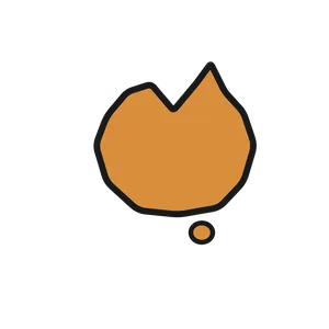
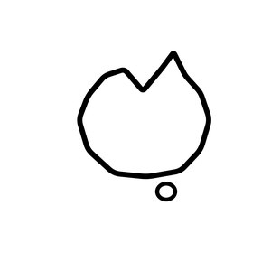
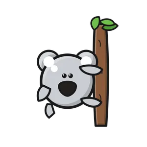
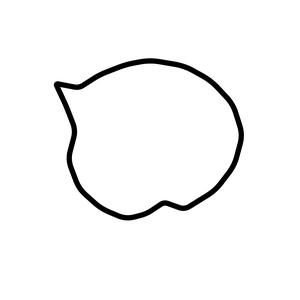
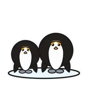
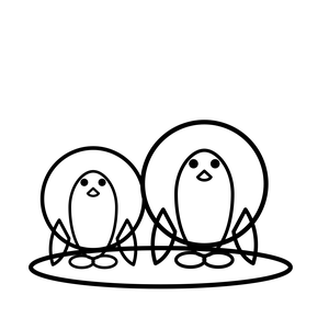
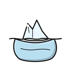
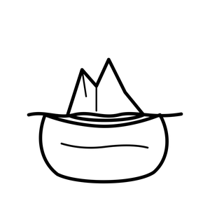
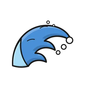
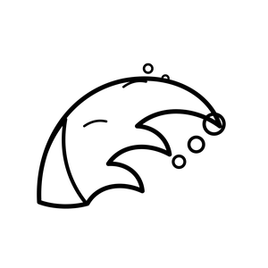
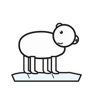
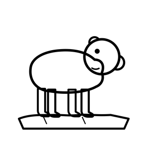
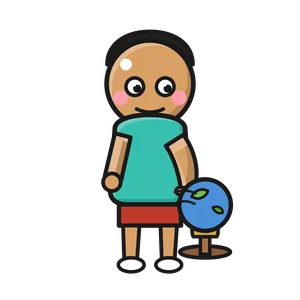
A continent name is much easier to remember once a child can connect it to a shape on a map. This set gives me a world map, globe hemispheres, continent silhouettes, and a child pointing to a map. Each region has a few memorable anchors: a bald eagle, toucan, llama, castle, windmill, lion, elephant, panda, cherry blossoms, kangaroo, koala, penguins, an iceberg, and an ocean wave. Those details give students something to discuss after they locate a place.
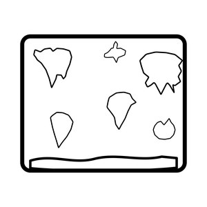
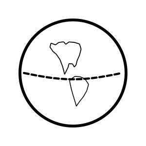
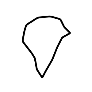
The set fits grades 1 through 5 geography units, map introductions, and world-region review. I'll use the silhouette cards for a matching relay: teams place each continent on a blank world map, add its ocean neighbors, and then choose an animal or landmark that belongs with it. Students can explain that an image is a clue, not the whole story of a continent. Color versions make a large floor map easy to scan. Blackline versions are useful for notebook maps, cut-and-sort activities, and quick checks of continent and ocean vocabulary.
What's inside